Wine Geo: Anatomy of a (Wine) River
March 5, 2021 1 Comment
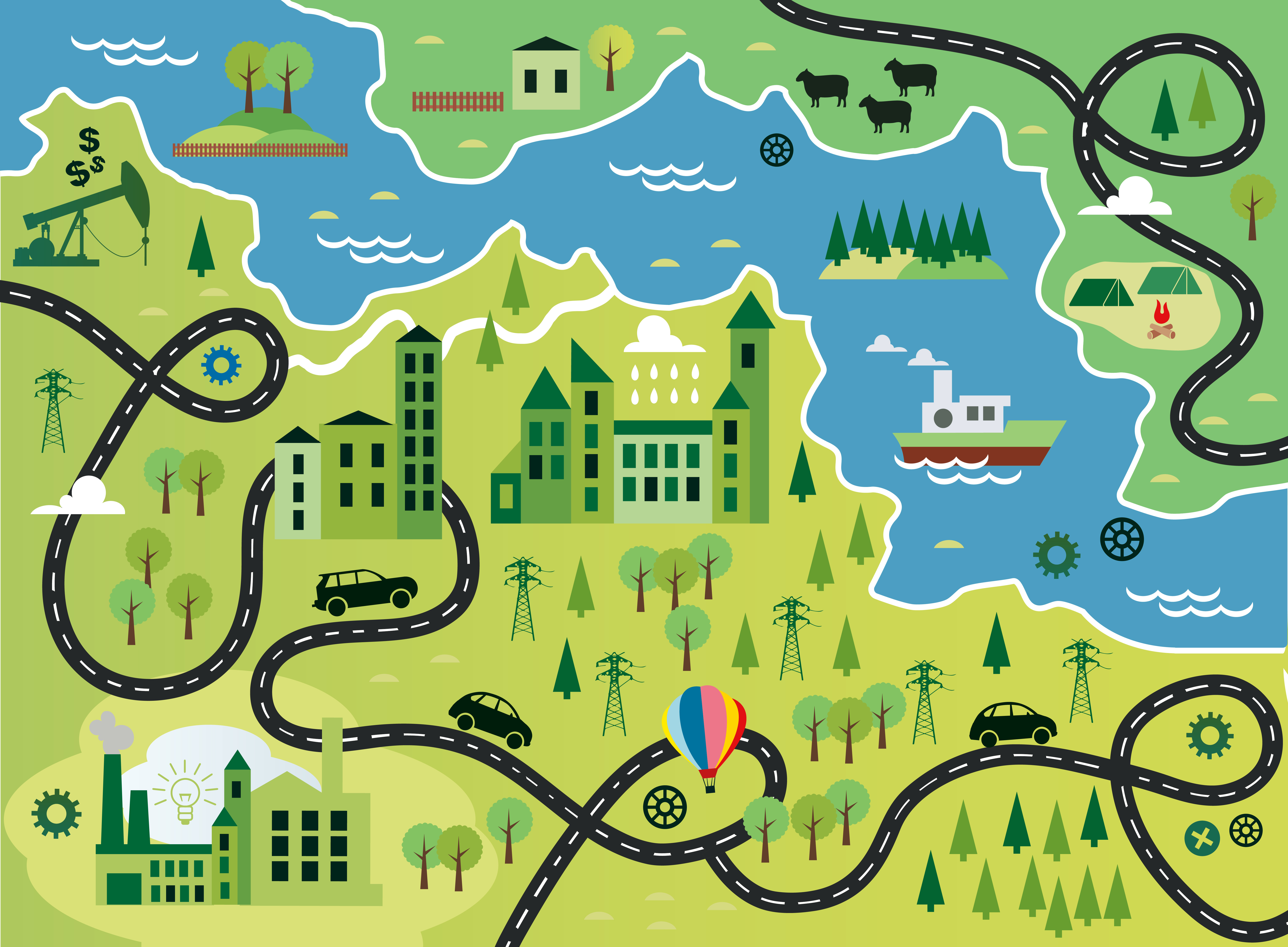
 Rivers are a big deal to wine students. Rivers define regional and national borders; carve out valleys, gorges, and ravines; provide water for irrigation; move and mold the soil; and moderate the climate (to name just a few of their tricks).
Being a wine geo nerd, I thought it would be interesting to take a closer look at the anatomy of a river, with a nod to a few of the many wine regions defined by their river(s). As such, here is a quick dive into the anatomy of a river, from head (source) to tail (delta):
The Headwaters: The beginning, or source, of a river is known as its headwaters. Headwaters can be formed from a small trickle bubbling up from an underground stream, an outlet from a lake or pond, an area fed by melting mountain snow, or a place where several small streams flow together.
Upstream/Downstream: If you want to head upriver you need to point in the direction of the river’s source (headwaters). If you are heading downriver, you are paddling towards the river’s mouth (end). An area described as “upper” will be closer to the source of a river than a “lower” area. (This is often confusing, as we tend to think of upper or lower in terms of elevation.)
It is quite common for wine regions to be named in part due to their position on a river. Some examples include Oberösterreich/Niederösterreich (Upper Austria/Lower Austria), the Lower Long Tom (proposed AVA), and the Upper Goulburn GI (Victoria, Australia).
 The Riverbank: The area right next to the river is called the riverbank—or (in more scientific terms) the riparian zone. The banks of a river are typically fertile areas, frequently replenished by areal flooding. However, in the world of wine some of the prime river-adjacent areas are located on elevated plateaus above the river or on steep hillsides leading down to the river. Spain has several appellations named after riverbanks (riberas); these include the Ribera del Duero DO, the Ribera del Guadiana DO, and the Ribera del Júcar DO.
The Tributaries: A tributary is a river the feeds into a (typically larger) river rather than reaching its end in an ocean or lake. Many of the world’s most impressive rivers gain most of their water from their tributaries. For example, France’s Loire River is fed by close to 80 smaller rivers, including the Sèvre, the Maine, the Allier, the Sarthe, the Loir, and the Cher. Tributaries are sometimes referred by as left-bank or right-bank tributaries. The terms refer to the location of the tributary as one is looking downstream (facing the mouth/end, rather than the source/beginning of the river).
Several well-known wine regions are named for the tributaries of famous rivers. These include Muscadet Sèvre-et-Maine AOC (the Sèvre and the Maine are both left-bank tributaries of the Loire) and the Saar Grosslage (named after a right-bank tributary of the Mosel).
 The Delta: The end of a river—where it meets an ocean, lake, or wetland—is known as its mouth or delta. As it reaches its end, a river typically slows and spreads out into a wide area. As this occurs, the river is no longer able to carry large amount of sediment and it leaves behind deposits of rich soil.
For this reason, the deltas of the world often coincide with centers of civilization (such as Lower Egypt’s Nile Delta) and/or fertile nesting grounds for birds and other wildlife (such as the Guadalupe Delta Wildlife Management Area of southern Texas). In the United States, the Mississippi Delta AVA (located partially on the delta of the Mississippi River in parts of Louisiana, Mississippi, and Tennessee) is a center for enological research specializing in native North American grapes.
If a river ends at the sea, it forms an estuary—an area where saltwater mixes with fresh water—as it heads into the ocean. Spain’s famous Rías Baixas DO is named after a series of drowned river estuaries (the upper rías).
References/for more information:
- https://www.geographyrealm.com/rivers-change-landscape
- https://www.alevelgeography.com/the-long-profile-changing-processes-types-of-erosion-transportation-and-deposition/
The Bubbly Professor is “Miss Jane” Nickles of Austin, Texas… missjane@prodigy.net

Awesome article! … growing up, I always thought the the St. John’s river in Florida was the only anomaly in the world where a river flowed North to South … thanks to Society of Wine Educators, I now realize that there are many North-flowing rivers that are very important to the geologic and economic systems that helped establishing many of the wine region/cultures that are so prominent to this day.