Five Fast Facts about the Bay of Biscay

Biarritz (France)

If you are a wine student who has studied Bordeaux, you’ve heard of the Bay of Biscay. If you have dreamed of traveling to the resort town of Biarritz, you’ve heard of the Bay of Biscay.  If you are a sailor who likes a challenge, you’ve heard of the Bay of Biscay. If you are interested in learning more, read on for five fast facts about the Bay of Biscay!

#1: The name and the place: The Bay of Biscay is a portion of the Atlantic Ocean located off the west coast of France and the northern coast of Spain. It stretches from Point Penmarch (a small peninsula in Brittany’s Finistère department) in the north to Cape Ortegal (a headland on the shores of A Coruña, Galicia) in the south. It is named for the province of Biscay—a sub-region of Basque Autonomous Community of Spain (Comunidad Autónoma del País Vasco).

If you sailed from Point Penmarch to Cape Ortegal (you might want to consult item #5 before doing so), you would cover 360 miles/580km; if you drove the coast, you would cover 914 miles/1,475 km and pass through the cities of Nantes, Bordeaux, Bayonne, San Sebastian, and Bilbao.

#2: It’s a bay…it’s a gulf…it’s a sea: The term Bay of Biscay is used mostly by English Speakers. In France, this area is known as the Golfe de Gascogne (Gulf of Gascony), and many Spanish speakers know it as the Golfo de Vizcaya (Gulf of Biscay/Vizcaya). In Spain, the waters just off the coast of Northern Spain (stretching east to the French city of Bayonne) are known as the Mar Cantábrico (Cantabrian Sea).

  • For the geo-curious: Terms such as bay, gulf, and sea are loosely defined. However, according to the National Geographic Education Resource Library:
    • A bay is any body of water partially surrounded by land.
    • A gulf is a portion of the ocean that penetrates land. (As such, the terms bay and gulf are largely interchangeable.) While there are some exceptions (such as the Bay of Bengal), in common use a gulf is larger than a bay.
    • Sea is a broad term that may be applied to more than 50 different types of water formations; this term is typically reserved for bodies of salt water.

#3: The Rennell Current: Several ocean currents flow through the Bay of Biscay, all of which are considered branches of the Gulf Stream. The Gulf Stream—named for its source (the Gulf of Mexico, at 20°N)—carries warm water northward and eventually reaches the northern coast of Europe. The portion of the current flowing closest to the coast in the Bay of Biscay is known as the Rennell Current, named for James Rennell (1742–18300, a British geographer and oceanographer who studied and mapped many ocean currents. It is estimated that the Rennell Current can have a warming effect of up to 4°(F) on the areas along the coast of France.

#4: The triangle of fog: Fog can show up at any time and just about any place on the Bay of Biscay, but it is an almost daily occurrence during late spring and all through summer, particularly in the southwest portion of the bay.  This “triangle of fog” typically forms over the deepest water in the bay and can extend inland along the northern coast of Spain (Galicia–Asturias–Cantabria—Basque Country) for several miles.On th

On the coast in Deba (Basque Country, Spain)

#5: The shelf and the shallow: The Bay of Biscay has a long history of shipwrecks, rough water, and tumultuous storms. During the winter months, areas of low pressure (unstable air masses/depressions) track into the bay via the Gulf Stream and are easily energized into fierce thunderstorms, much to the dismay of anyone caught on the open water.  At times, these thunderstorms are met with winds from the east and this clash of wind and rain can cause the water to churn “like a washing machine.” In addition, the continental shelf extends over a large portion of the bay, resulting in shallow water and rough seas that can occur during all types of weather.  Click here to see a detailed map of the continental shelf in the Bay of Biscay. 

Here’s to the Bay of Biscay! The next time you raise a glass of Muscadet, Cognac, Txakolina, Sidra de Asturias, or Bordeaux…remember to pay homage to the influence of the Bay of Biscay…whether it be storms or fog or ships that made it through.

References/for more information:

The Bubbly Professor is “Miss Jane” Nickles of Austin, Texas… missjane@prodigy.net

Five Fast Facts about Strohwein

Sweet wine made from grapes dried on straw mats, often referred to as straw wine—has a long history in Europe. The first such examples were likely produced in Greece, and the drying technique eventually made its way to Italy (where a more general term—passito—is typically used to refer to dried-grape wines of many types).

Students of wine will undoubtedly recognize Strohwein as a specific type of dried-grape wine produced in Austria—and in doing so they would be almost correct! Read on to read five fast (and fascinating) facts about Strohwein.

#1: In Austria: Strohwein is indeed a type of sweet, dried-grape wine produced in Austria. The country obtained EU protection for the term as representing it as a distinctive product of Austria in 1999. Schilfwein (reed wine)—also registered as a distinctive product of Austria in 1999—is synonymous with Strohwein. In Austria, the term Strohwein can only be used on a PDO wine, with Burgenland as a leading region. There is a minimum of 5% abv, but no minimum sugar is mandated.

#2: Specifications for Austrian Strohwein: Grapes are to be stored (dried) on straw or reed mats for at least three months. Sugar content before pressing must be minimum of 25°KMW (about 29.6° brix). The white grapes of Austria—including local favorites Grüner Veltliner, Muscat, and Riesling—are often used for Strohwein, but red grapes such as Zweigelt and Blaufränkisch are used as well.

#3: In Italy: Italy is also allowed to use the term Strohwein for certain products produced in the province of Bolzano (also known as South Tyrol, Südtirol, or Alto Adige). Bolzano is located in the far north of Italy, just south of (and adjacent to) the Austrian state of Tyrol. Italian Strohwein may be labeled with a PDO or a PGI designation. As such, it may be produced under any of the following appellations: Alto Adige/Südtirol DOC, Mitterberg IGT, or Vigneti delle Dolomiti IGT.

#4: Specifications for Italian Strohwein: The Italian definition of Strohwein requires that the grapes be dried, after harvest, over a straw trellis. According to the requirements of the Alto Adige DOC, passito wines may be produced using Chardonnay, Pinot Bianco, Pinot Grigio, Müller Thurgau, Sauvignon, Riesling, Silvaner, Gewürztraminer, Kerner, and/or Moscato Giallo grapes, and may not be sold until June 1 of the year following the harvest.

#5: Straw wine from Germany (or not): Despite its penchant for sweet wines, dried-grape wines of any type were— along with the major re-writing of the German wine law—disallowed for use in the PDO wines of Germany in 1971. The reasoning was (so it seems) that dried-grape wines were not “fresh” and that the drying process roughly equated to chaptalization. However, in the early 2000s, the Ulrich Stein Estate lobbied the ministry of viticulture and eventually succeeded in getting the ban on straw wine overturned. However, by the time this was accomplished—in 2009—Austria and Italy had already protected the term. Eventually, Ulrich Stein was able to get a new term—Striehween (based on a local dialect)—trademarked for use with certain wines. (It is not, however, part of any appellation rules.)

Switzerland produces dried grape wines sometimes labeled with the term Strohwein—but keep in mind, they are not a member of the EU—and like much of the world beyond Europe—they are not entirely beholden to EU rules.

France has a small but interesting tradition of straw wine—known as Vin de Paille—and we will tackle that topic in the near future! Keep in mind that straw wine—no matter what you call it—is typically produced in exceedingly small amounts and will likely be difficult to procure outside of the region of production.

References/for more information:

The Bubbly Professor is “Miss Jane” Nickles of Austin, Texas… missjane@prodigy.net


Five Fast Facts about the Margaret River Region

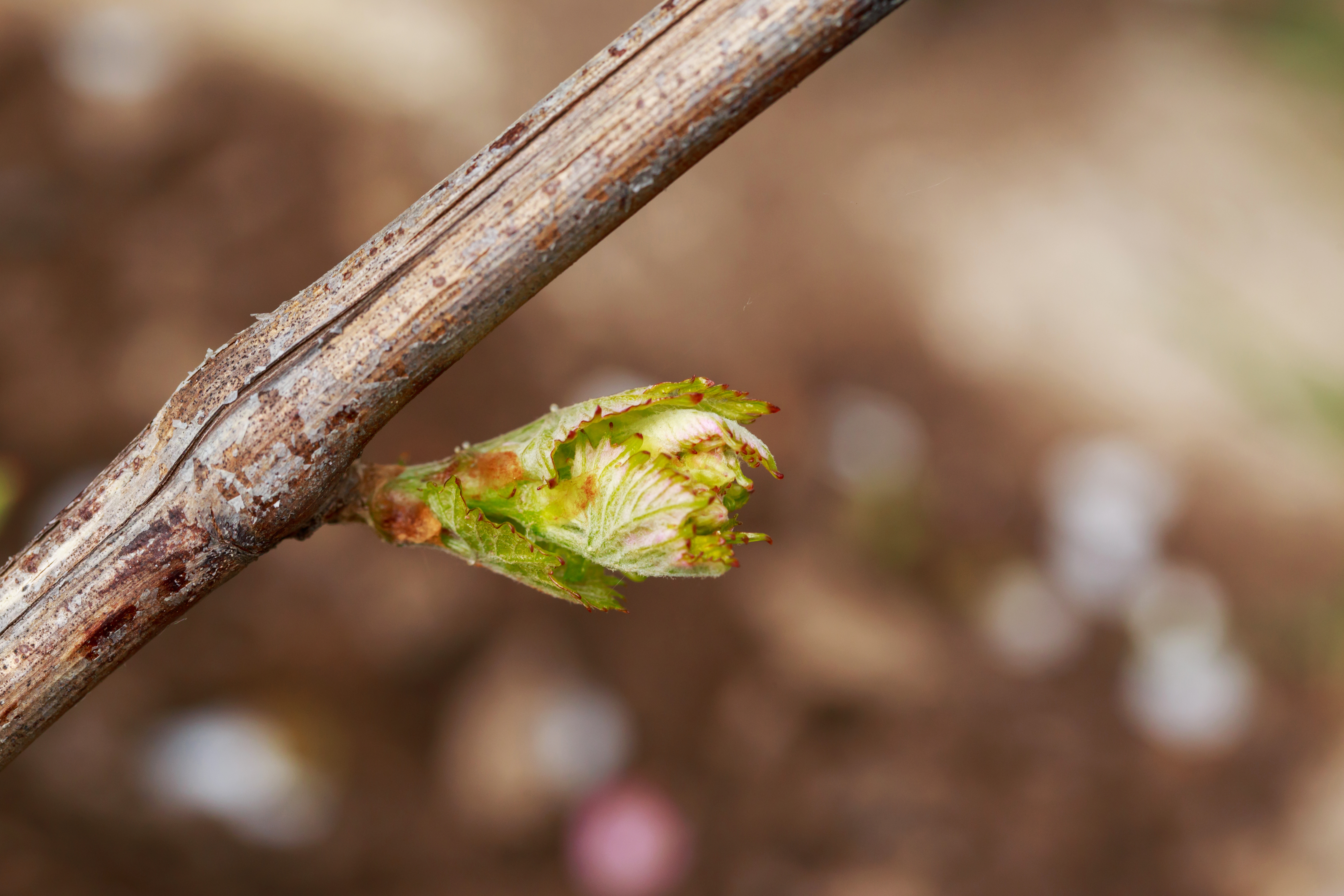
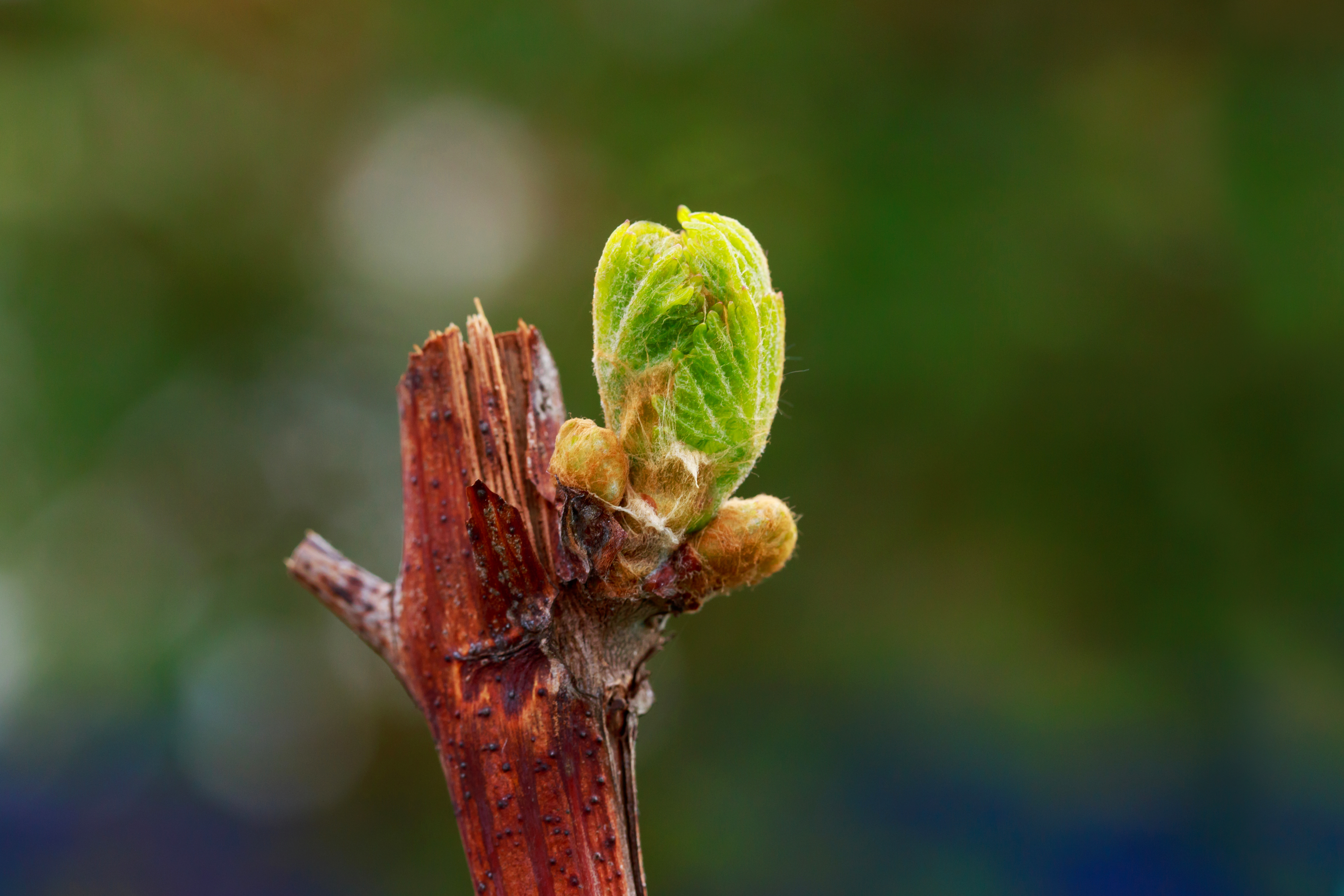
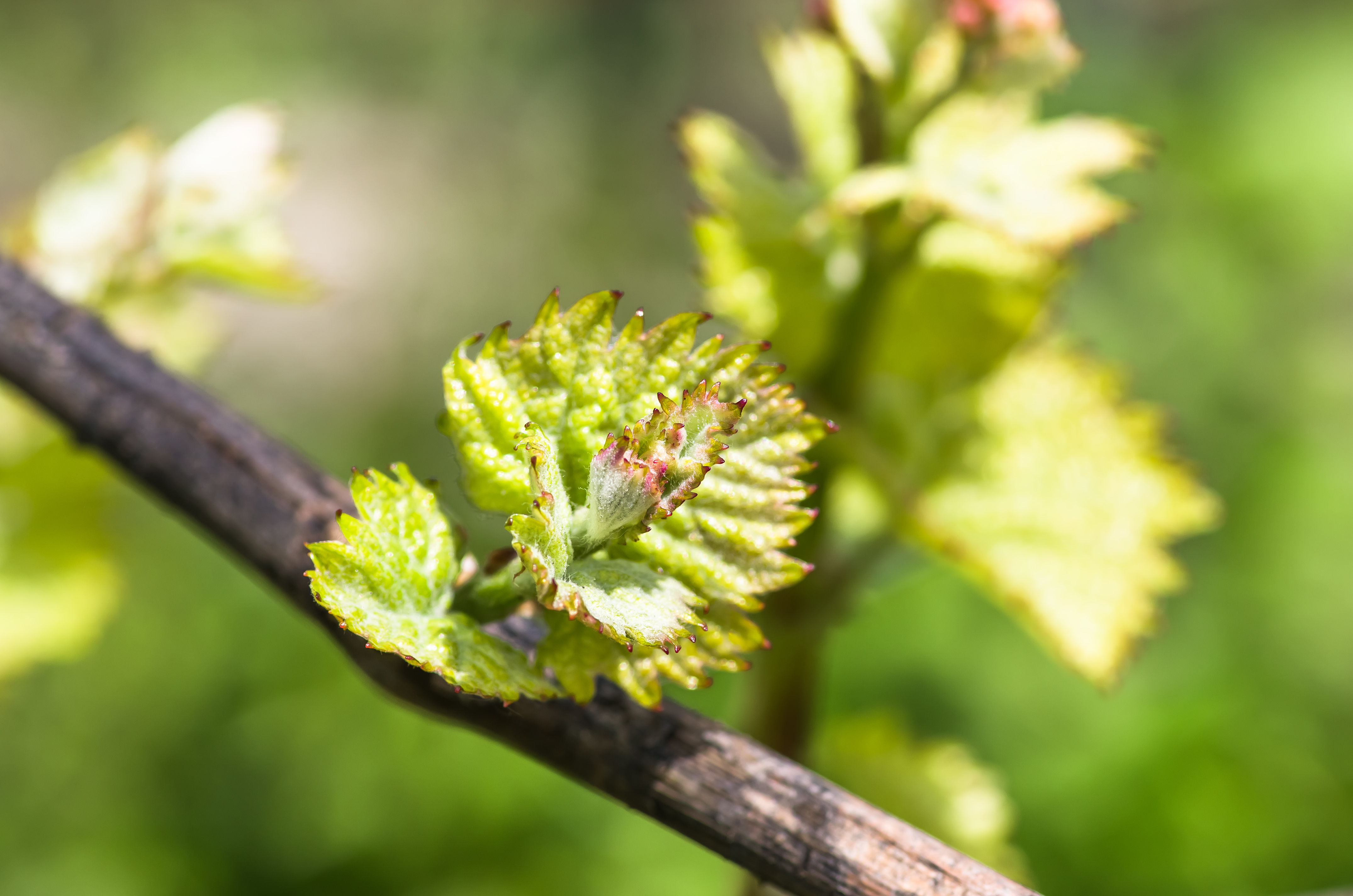
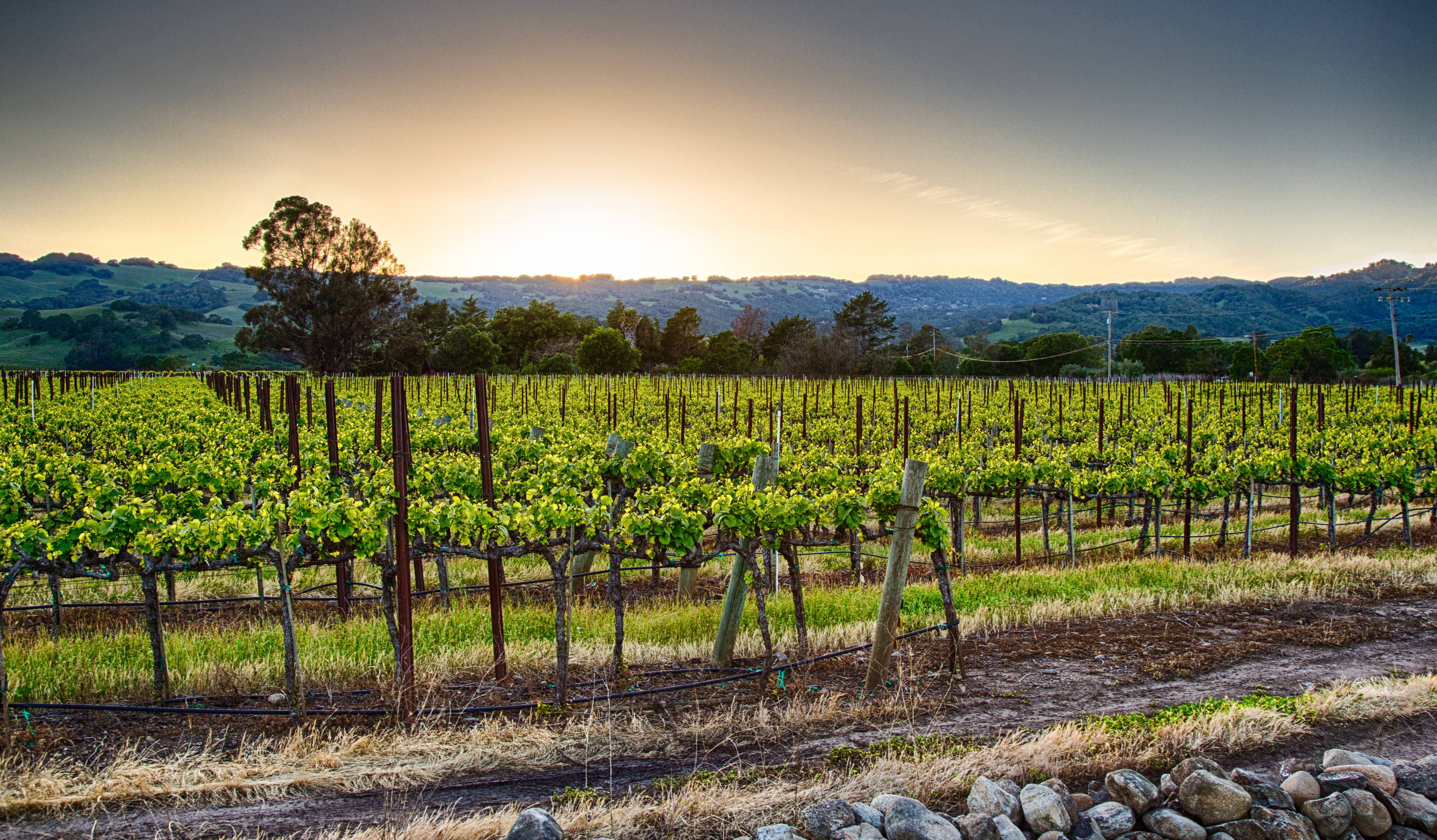
Vineyards in the Margaret River Region

The Margaret River is many things. It’s a town! It’s a river! It’s a wine region!

Here at the Bubbly Professor, we are mostly interested in the wine region, but the region (of course) is shaped by the river. It’s a fascinating spot, so let’s explore five fast facts about Australia’s Margaret River wine region.

#1: Look to the far west of Western Australia. The Margaret River Region is located in the far west of Western Australia. It consists of a long, narrow stretch of land (about 60 miles/96 km from north to south) jutting out from the Australian landmass, surrounded on three sides by the waters of the Indian Ocean. Its namesake—the town of Margaret River—is pretty much a surfing town (it was featured in the 60s surfing flick Endless Summer) and is home to just over 6,000 permanent residents. To reach the town (and the wine region) you will need to drive about 170 miles/275 km south from Perth—the nearest city—and as such, many people describe Margaret River as “the most geographically isolated wine region on earth.”

Wine map of Western Australia via WineAustralia

#2: The Margaret River runs through it. The Margaret River—just 37 miles/60 km long—flows from its source in the Whicher Range across the Margaret River Plateau until it meets the Indian Ocean. The Whicher Range is not too tall (the average height of the hills is just 558 feet/170 m above sea level), and the typically calm river changes its character with the seasons as the volume of water varies and causes the banks to expand and contract. The point where the river meets the sea—River Mouth Beach—is an interesting spot, as the calm river waters meet the wild, surf-worthy waves of the West Australia Coast.

#3: It’s young—at least for a wine region. Commercial viticulture did not arrive in the area until the 1960s, when several people—notably Dr. Tom Cullity, a Perth cardiologist influenced by a paper written by Dr. John Gladstones of the University of Western Australia—took note. Dr. Cullity planted vines that would become the Vasse Felix Winery—often called Margaret River’s founding winery—in 1967. Other endeavors soon followed, including Moss Wood (1969), Cape Mentelle (1970), Cullen Wines (1971), and Leeuwin Estate Winery (in 1973).

Cape Leeuwin

#4: Its more maritime than most. The area is greatly influenced by the surrounding ocean—and has what n described as “the most marked maritime climate of any region in Australia in terms of rainfall.” The area enjoys an average of 1,000 mm (almost 40 inches, about the same as Seattle, Washington) of rain a year. Other aspects of the climate are, however, a tad more Mediterranean—with most of the rain falling during the winter, followed by a warm, dry summer and little chance of frost or freezing temperatures.

Other aspects that contribute to the local terroir include the latitude—the area is situated comfortably within the temperate zone of the Southern Hemisphere at 33.5°S—and the region’s relatively low elevations (the average is just 131—744 feet/ 40–227 m above sea level). Soils include well-drained red loam topsoil dotted with gravel atop gneiss, schist, and granite-based sub-soils.

#5: In terms of grapes, it’s more Bordeaux than Barossa. The top three grape varieties in the Margaret River—Sauvignon Blanc, Cabernet Sauvignon, and Semillon—hail from Bordeaux. As is typical of Bordeaux, many of these grapes make their way into blends, including Sauvignon Blanc/Semillon and Cabernet Sauvignon/Merlot. Also noteworthy is that Margaret River is one of the few regions in Australia (in addition to the far more famous Hunter Valley) with a focus on Semillon. As for those grape varieties considered more typical of Australia: Chardonnay makes a good show in the Margaret River Region (by most accounts, it is the fourth-most-widely grown grape). Shiraz, however, only takes up just 13% of the total acreage (compared to 27% country-wide).

The area of Western Australia has been inhabited for over 50,000 years. Its first inhabitants—the Wadandi people—are considered the traditional owners of the land, collectively known as Wadandi Boodja, meaning Saltwater People’s Country.

References/for more information:

The Bubbly Professor is “Miss Jane” Nickles of Austin, Texas… missjane@prodigy.net

Five Fast Facts about Sonoma Creek

Sonoma Creek is dwarfed—in length and volume as well as fame—by the nearby Napa River. However, this small-but-mighty creek makes its mark in the southwest corner of Sonoma County in a very big way. Read on to ponder five fast facts about Sonoma Creek!

#1: From its source on the west side of the Mayacamas Mountains—Sugarloaf Ridge State Park to be exact—Sonoma Creek measures about 33 miles/54 km in total length. After running (mostly) west for about 3 miles/5 km, the creek takes a turn and flows to the south/southwest through Sonoma Valley before emptying into San Pablo Bay.

#2: There is a waterfall! Sonoma Falls is tucked into Sugarloaf Ridge State Park, near the source of the creek. The park is located a short (3-mile/5-kilometer) drive from Kenwood—just turn east off of Sonoma Highway onto Adobe Canyon Road. From the park’s visitor’s center, you can take any one of several short hikes to Sonoma Creek Falls. The falls are somewhat seasonal, but if you catch it during winter, spring, or after a storm, you are likely to be rewarded with the soothing sound of falling water. At its most lively, Sonoma Falls is multi-tiered and can cascade as much as 20 feet/6 meters.

Sonoma Falls (on a good day)

#3: Some of the best-known wine towns in the Sonoma Valley AVA are located directly on Sonoma Creek. The bucolic wine country towns of Kenwood, Glen Ellen, El Verano, and (the town of) Sonoma are located directly on the creek. Dozens of wineries are situated just a few miles from the creek (or even closer)—check out Buena Vista, Kunde Family Winery, Kenwood Vineyards, and Sangiacomo Family Wines.

#4: The Sonoma Creek Watershed is located entirely within the Sonoma Valley AVA. Surrounded by the vineyards of the Sonoma Valley AVA, Sonoma Creek is fed by waters that flow from the very mountains that define the appellation’s boundaries. The Mayacamas—located along the appellation’s eastern boundary—give rise to the headwaters of the creek itself as well as several tributaries including Bear Creek and Calabazas Creek (just north of the town of Glen Ellen). The Sonoma Mountains—forming the northern and western edge of the region—give rise to Yulupa Creek (sourced along the eastern slope of Bennet Mountain), Graham Creek, and Fowler Creek.

#5: Sonoma Creek is one of the three main bodies of water that course through (and drain) the southern portion of Sonoma County. The southern section of Sonoma County is drained by Sonoma Creek, the Petaluma River, and Tolay Creek. The 18 mile-/29 km-long Petaluma River rises in a series of small hills located between the towns of Cotati and Petaluma. After flowing directly through the town of Petaluma, it forms part of the border between Sonoma and Marin County before emptying into San Pablo Bay. Tolay Creek—located between the watershed of Sonoma Creek and the Petaluma River—rises from Tolay Lake (itself located in a narrow ridge near the southern edge of Sonoma Mountains). Somewhat seasonal, Tolay Creek flows in a southerly direction for 12.5 miles/20 km towards San Pablo Bay.  For the last 2 miles/3 km of its run—after it passes underneath Highway 37—Tolay Creek marks the western boundary of the Sonoma Valley AVA.

References/for more information:

The Bubbly Professor is “Miss Jane” Nickles of Austin, Texas… missjane@prodigy.net

Five Fast Facts about Saint-Pourçain

Saint-Pourçain—one of the five AOCs often described as the appellations of Central France—is an obscure appellation located in the Allier Department. Even though its wines are not typically found outside of Western Europe—the area is planted to a mere 1,480 acres/600 ha of vines—the region holds a fascination all its own. Read on for some interesting tidbits about the little-known Saint- Pourçain AOC.

#1—Saint-Pourçain is considered one of the oldest vineyards in France. Like many regions in France, the wines of Saint-Pourçain are well-documented from the start of the Middle Ages and are known to have received some notoriety in pre-revolutionary France. However, viticulture in Saint-Pourçain and throughout the (present-day) Allier Department can be traced back to the time of the Romans. Some people even believe that viticulture in the area dates as far back as the Phoenicians (pre-BCE), who founded the colony of Cantilia in the present-day commune of Chantelle.

Statue of Saint Pourcain in the Église de Monestier via Wikimedia Commons

#2—There was an actual Saint. Saint Pourçain—also known as Portianus—lived in the area sometime in the sixth century. A former slave—freed from a brutal master during the Roman occupation of Gaul—he lived as a hermit and founded a monastery on the banks of the Sioule River. He is credited with performing many miracles that benefited the inhabitants of the area—including restoring the sight of his blind owner, which led to his freedom. Another miracle involved giant serpents emerging from an amphora of wine and the subsequent release of a group of prisoners. It is said that Portianus/Pourçain was so beloved that at the time of his death (circa 532) the people of the area changed the name of their town from Mirendense to Saint Pourçain.

#3—The appellation is named after the town of Saint-Pourçain-sur-Sioule. Located near the geographic center of France, Saint-Pourçain-sur-Sioule lies just to the west of the Allier River. The Sioule River (a left tributary of the Allier) flows—from its source in the Massif Central—north/northeasterly directly through the town; it joins the Allier about 10 km/6 miles beyond its northern edge.

#4—Saint-Pourçain is sometimes considered a “lost vineyard of Burgundy.” In many reference books, the appellations of Central France—including the Saint- Pourçain AOC—are grouped with the other appellations of the Loire (Sancerre and the other appellations of the Eastern Loire are located about 75 miles/120 km to the north). However, it can be argued that the only true connection between the appellations of Central France and those of the Loire Valley is the river itself. On the other hand, in terms of landscape, architecture, terroir, and even the wines themselves, Saint- Pourçain has more in common with Burgundy. The topography—in terms of rolling hills punctuated by valleys and plateaus as well as south/south-east facing slopes—is similar, as is the latitude. Saint-Pourçain sits at 46°N, the same parallel as the southern Burgundy town of Mâcon, located about 73 miles/117 miles to the east.

Map of the Saint Pourcain AOC via the INAO

#5—Like Burgundy, the Saint-Pourçain AOC produces red, white, and rosé. Like most of the wines produced in Burgundy, the wines of Saint-Pourçain are required to be dry and tranquille (still/non-sparkling).  The grape varieties—based around Chardonnay, Pinot Noir, and Gamay—are Burgundy-esque as well. For the record, the encépagement (plantings) allowed for use in the wines of the Saint-Pourçain AOC are as follows:

  • Rouge/Red: 25% to 60% Pinot Noir; 40% to 75% Gamay
  • Blanc/White: 50% to 80% Chardonnay; 20% to 40% Tressalier (known in Burgundy as Sacy); up to 10% Sauvignon Blanc
  • Rosé: 100% Gamay

 There are currently about 20 wineries in the Saint-Pourçain AOC; noted producers include Domaine des Berioles and Domaine Nebout. The local co-op, Cave de Saint-Pourçain, is the majority producer.

References/for more information:

The Bubbly Professor is “Miss Jane” Nickles of Austin, Texas… missjane@prodigy.net

Five Fast Facts about the Anderson Valley AVA

Photo via the Anderson Valley Winegrowers Association

The Anderson Valley—located in California’s Mendocino County—was established as an American Viticultural Area (AVA) in 1983. This was back when there were only about 30 regions so designated in the United States, as compared to the 250-plus AVAs that exist now.

Here are five fast facts about this tiny but fascinating stretch of California wine country.

The valley and the vines: The Anderson Valley AVA stretches for just over 15 miles/24 km along a narrow valley formed by Anderson Creek and the Navarro River. From north-to-south, it measures about one mile/1.6 km wide. As such, it forms a neat rectangle (with a bit of fluff on the western edge) tucked between the Mendocino Ridge AVA to the south and the Yorkville Highlands AVA to the southeast. The Anderson Valley AVA is one of the sub-regions of the larger Mendocino AVA.

The Anderson Valley AVA covers a total of 57,600 acres/23,310 ha; of these, 2,457 acres/994 ha are under vine. There are currently just over 90 commercial vineyards and 30 bonded wineries within its boundaries. Many wineries located nearby in Napa and Sonoma Counties produce wine using Anderson Valley fruit.

Base map via USGS: https://apps.nationalmap.gov

Rivers, ridges, and rolling hills: In the Anderson Valley, the relatively flat (and fertile) valley floor occupies a fairly narrow path through the region. Beyond the valley, the area consists of rolling hills—interspersed with forests of Douglas Fir, California Laurel, and California Redwood Trees—and mountain ridges (topping out at about 2,500 feet/762 m above sea level) outlining the California Coast Range. The mountains and hills form a series of south-facing slopes, many of which are considered prime spots for viticulture.

No doubt about it, it’s a cool climate: The western edge of the Anderson Valley AVA—known to locals as the deep end—is located a mere 10 miles/16 km from the Pacific coast. From here, the low-lying, narrow valley is perfectly poised to capture the cool ocean breezes and funnel the early morning fog inland and upriver. Rain is often plentiful, although it can vary from year to year. The entire area can experience a diurnal temperature fluctuation of more than 50°F, and while daytime temperatures do sometimes reach as high as 100°F (38 °C) for a few days in the summertime, the average temperature for a given year is typically 53°F (12°C). As such, the Anderson Valley is one of the coolest of the cool-climate wine regions of California.

Map via the TTB AVA Explorer

Pinot Noir rules: According to a vineyards census published by the Anderson Valley Winegrowers Association (AVWA), as of 2018 nearly 69% of the vineyards in the region are planted to Pinot Noir. The second most widely planted grape—at 21%—is Chardonnay, much of which makes its way into the area’s sparkling wines. Other leading grapes include Gewürztraminer (4%), Merlot (3%, mostly grown in the eastern, warmer part of the region), Pinot Gris (2%), and Riesling (1%).

Pinot Noir arrived in the region in 1971, when Husch Vineyards planted 2.5 acres of the heartbreak grape in a small hilltop vineyard now known as “the Knoll.” Other estates—including Navarro Vineyards, Lazy Creek Vineyards, and Greenwood Ridge Vineyards soon followed suit. Plantings of Pinot Noir have increased more than five-fold since the mid-1990s as the undeniable affinity between the terroir of the Anderson Valley and Pinot Noir was affirmed.

Anderson Valley Pinot Noir is known for its vibrant acidity and elegance as well as aromas and flavors of red and black fruit (raspberry, black cherry, cranberry, plum) backed up by herbal, savory, earthy, and floral notes. Leading producers of Anderson Valley Pinot Noir located within the AVA include Navarro Vineyards, Baxter Winery, and Domaine Anderson. Wineries located outside of the valley—including Williams Selyem, Littorai, Cakebread, Siduri, and Goldeneye (the Pinot Noir- focused offshoot of the Duckhorn Portfolio)—are also producing outstanding Pinot Noir using Anderson Valley fruit.

Specialists in sparkling wine: The Anderson Valley’s first sparkling wine—produced by Scharffenberger Cellars—was released in 1981. Handley Cellars (1983) and Navarro Vineyards (1988) soon followed with sparklers of their own. However, with the 1982 arrival of Roederer Estate—the California outpost of the Champagne Louis Roederer—and the 1988 release of Roederer Estate MV Brut Cuvée, the region’s reputation as a world-class producer of traditional method sparkling wines was sealed.

References/for more information:

The Bubbly Professor is “Miss Jane” Nickles of Austin, Texas… missjane@prodigy.net

Five Fast Facts about the Minho River

.

The Minho River (known in Spain as the Miño, but widely recognized by the Portuguese name Minho) flows south/southwest across Galicia before twisting to the west and defining a portion of the border between Spain and Portugal. At 210 miles/340 km long, the Minho is the longest river in Galicia and the fourth longest on the Iberian Peninsula (following the Douro, Ebro, and Tagus).

The river helps to define several of Galicia’s wine regions as well as Portugal’s Vinho Verde DOC and is, therefore, particularly well-known to students of wine. Read on to discover five fast facts about the Minho!

#1: Pedregal de Irimia—a spot located a few miles (kilometers) east of the tiny town of Meira—is considered to the source of the Minho River. The spot—positioned within the Serra do Meira/Cantabrian Mountains—is very close to the area where the northern edge of the Galician Massif meets the eastern edge of the Cantabrian Mountains. Pedregal de Irimia sits at an elevation of about 2,400 feet/732 km above sea level. The ancient walled city of Lugo—often cited as the river’s source—is located about 45 miles/73 kilometers downriver from Pedregal de Irimia.

Map of the Minho River attributed to Norman Einstein via Wikimedia Commons

#2: About 17 miles/28 km south of the city of Lugo, the Minho River enters into—and slices through—the Ribeira Sacra DO. Here, the river Sil—once-upon-a-time a rich source of alluvial gold—flows into the Minho. The Sil flows southwest from León (Castilla y León) for about 140 miles/225 km until it joins the Minho in the Galician province of Ourense.

The Ribeira Sacra DO—whose name translates as Sacred Shore, most likely referencing the many churches and monasteries in the region—is known for reds and rosés based on the Mencía grape variety as well as white wines based on Godello. A rather long list of other varieties (including Garnacha Tinta, Albariño, Godello, Treixadura, Loureira, and Torrontés) are also allowed for use in the wines of the Ribeira Sacra DO.

#3: Just a few miles/kilometers after exiting Ribeira Sacra, the Minho flows into the Ribeiro DO. While this DO makes a small amount of Mencía-based red and rosé, white wines are the focus here and make up to 85% of the total production. The leading white grape varieties of the Ribeiro DO—used to create the crisp, fruity, and flavorful wines of the region—include Treixadura, Torrontés, Godello, Loureira, and Albariño.

#4: Passing through the eastern edge of the Ribeiro DO, the Minho River flows past the town of Cortegada and carves out the southern boundary of the Condado de Tea and O Rosal sub-regions of the Rías Baixas DO. These regions—characterized by terraced vineyards overlooking the banks of the river—are deservedly famous for their crisp, dry, fruity-and-floral white wines based on Albariño.

Wine Map of Galicia

#5: On its journey from to the Atlantic Ocean, the Minho River forms part of the border between Spain and Portugal. This part of the river’s journey begins just to the north of the town of Cevide—the northernmost spot in Portugal—and continues westward for about 50 miles/80 km to the sea. Here, the river defines the northern edge of Portugal’s Minho Vino Regional (regional/IGP) wine appellation as well as the Vinho Verde DOC. The Minho/Vinho Verde area is huge, extending as far south as the Douro River and halfway into the interior of the country. This is a lush, fertile area with a good deal of crops, fields, and agriculture of all kinds. Grapevines in the Minho are often trained up high pergolas—or even up and over trees, telephone poles, and fences. This practice makes excellent use of the available land and helps to protect the vines from the possibly harmful effects of the high humidity experienced throughout much of the region.

Vinho Verde is famous all over the world as an inexpensive, easy-drinking, widely accessible wine. While the name translates to green wine, the reference is to the wine’s flavor profile—the wine is meant to be consumed young, white it retains its crisp, fruity, and thirst-quenching style—and not its color (which can actually be red, white, or pink).

The Minho River reaches its final destination—the Atlantic Ocean—between the Spanish town of A Guarda and Portugal’s Caminha. This is the river’s widest point—it measures as much as mile/2 km across and at this stage is considered an estuary, complete with low-tide sand bars visible from either shore.

References/for more information:

The Bubbly Professor is “Miss Jane” Nickles of Austin, Texas… missjane@prodigy.net

Five Fast Facts about the Cantabrian Mountains

Extending across the northern coast of Spain for over 180 miles (300 km), the Cantabrian Mountains (Cordillera Cantábrica) comprise one of the major mountain ranges of Spain. These mountains are famous for providing a wind-and-rain shadow to the lands located to their south as well as defining Green Spain—the cool-and-rainy area along the coast.

While keeping our focus on the world of wine, here are five fast facts about the Cantabrian Mountains:

#1—From the Pyrenees to the Galician Massif: The Cantabrian Mountains stretch from the western edge of the Pyrenees (Navarra), through País Vasco, through a portion of the northern edge of Castilla y León, across Cantabria and Asturias, and into Galicia. The western edge of the range is typically defined as the valley of the Minho River and the point where the Cantabrian Mountains meet the eastern edge of the Galician Massif.

Geologically speaking (in terms of orogeny [mountain formation] and composition), the Cantabrian Mountains are similar to the Pyrenees. However, they are considered a distinct range.

#2—Green Spain defined: The mountains at the western-most edge of the Cantabrian Mountains—known as the Asturian Massif—join up with a series of mountains ranges known as the Galician Massif. The mountains of the Galician Massif—along with the Cantabrian Range—form part of a rather imposing wall of mountains that borders the plateau of Spain’s Meseta Central. These mountains help to keep the interior of the country “high and dry” while the area on the seaward side of the mountains—Green Spain, although the term Cornisa Cantábrica is more likely to be heard in Spain—remains lush, rainy, and temperate.

This cool-climate area—home to many of Spain’s favorite white, fizzy, and light-red wines—includes a large portion of Galicia, Asturias, and Cantabria, as well as the northern section of País Vasco. The DOs of Rías Baixas, Ribera Sacra, and Riberio as well as the three txakolinas (Arabako Txakolina DO, Bizkaiko Txakolina DO, and Getariako Txakolina DO) could all be considered wines of Green Spain.

#3—Three sections of the Cantabrian Mountains: The Cantabrian Range has three distinct sections. The westernmost section—extending into Galicia—contains the foothills and mountains of the Asturian Massif.

The center region contains the impressive Picos de Europa. This region contains the Torre Ceredo, located on the border between Asturias and Cantabria and topping out at 8,690 feet (2,650 m) above sea level.

The easternmost portion of the mountains—stretching eastward across Navarra to the western edge of the Pyrenees—is sometimes referred to as the Basque Mountains. The mountains here are incredibly old and eroded, topping out at Aizkorri (Basque for bare stone), a limestone summit reaching 5,023 feet (1,528 m) in height.

#4—Wine Rivers: The Cantabrian Mountains are the source of several important wine-related rivers. These include the following:

  • The Ebro (flows east/southeast through the Rioja DOCa before emptying into the Mediterranean Sea)
  • The Minho (flows south then west, defining part of the border between Spain and Portugal while outlining Portugal’s Vinho Verde DOC as well as Spain’s Rías Baixas DO)
  • The Sil (flows through Bierzo and onward through the Valdeorras and Ribeiro DOs before joining the Minho)
  • The Pisuerga (flows through the Cigales DO before joining the Duero)
  • The Esla (courses through the Tierra de Léon DO before joining the Duero).

#5—Heroic viticulture in the Cantabrian Mountains: Located in the Cantabrian Mountains of Asturias, the Cangas VCIG (Vino de Calidad Indicación Geográfica) appellation has been designated as practicing Viticultura de Montaña ( mountain viticulture). Mountain viticulture (sometimes called heroic viticulture) is so-defined by an organization known as CERVIM (Centro de Investigación, Estudio, Salvaguarda, Coordinación y Valorización de la Viticultura de Montaña/Center for Research, Study, Safeguarding, Coordination and Valorisation of Mountain Viticulture).

According to CERVIM, aspects of mountain viticulture include vine cultivation at elevations above 1,640 feet/500 m, vines planted on slopes with a minimum of 30° of incline, vines planted on terraces or embankments, and topography that prohibits mechanization.

Other wine regions have been recognized by the CERVIM organization as practicing mountain viticulture include Ribeira Sacra (Galicia, Spain); Priorat/Priorato (Catalonia, Spain); Banyuls (Roussillon, France); Portugal’s Douro Valley and the Mosel in Germany.

References/for more information:

The Bubbly Professor is “Miss Jane” Nickles of Austin, Texas… missjane@prodigy.net

Five Fast Facts about the Vosges Mountains

.

Famous for framing the vineyards of Alsace, the Vosges Mountains are a range of low mountains located in eastern France. The Vosges run parallel to the Rhine River for about 70 miles along a swath loosely defined as the area between the German border (to the north) and town of Belfort (to the south/southwest). The Vosges are defined as being wholly in France; the rolling hills and uplands that continue north of the German border are referred to as the Haardt Hills (Hardt Mountains/part of the Palatinate Forest).

Here are five wine-centric fast facts about the Vosges:

#1: Plateaus to the west, plains to the east—On its eastern edge (particularly in the south), the mountains of the Vosges form steep slopes over the Rhine Valley. Beyond the slopes—between the mountains and the Rhine River—lies an area of flood-prone meadows that are referred to as the Plaine d’Alsace (Alsatian Plains) or the Grand Ried. Across the Rhine (in Germany), the Black Forest—which is both a forest and a mountain range, despite the name—marks the eastern edge of the Rhine Valley.

On the western edge of the mountain range, the forested slopes of the Vosges descend more gently into the Lorraine Plateau.

Grand Ballon

#2: The highest mountains are ballons—No, not balloons filled with helium and red ribbons, but ballons. The French word ballon means a “round-topped mountain” implying a mountain with a dome-shaped—rather than a jagged—summit. The highest mountain in the Vosges—located in the Haut-Rhin about 16 miles/25 km northwest of Mulhouse—is Grand Ballon. Grand Ballon rises to 4,671 feet/1,423 m above sea level, and is sometimes referred to as Ballon de Guebwiller, due to its location (just 5 miles/8 km west of the town of the same name).

#3 Haute, Central, and Lower—The Vosges are considered low mountains—the peaks here do not rise nearly as high at those found in the Alps (hello Mount Blanc, at 15,774 feet/4,808 m) or the Pyrenees (topping out on Mount Aneto at 11,168 feet/3,404 m).

The highest section of the Vosges—known as the Hautes Vosges—is in the southernmost portion of the mountain range (roughly defined as the region to the south of Saint-Dié-des-Vosges). Here we find the highest mountains, including Grand Ballon and 15 others higher than 4,000 feet/1,200 m. This portion of the Vosges is based on gneiss and granite bedrock.

The Village of Riquewihr

The section in the center—known as the Middle Vosges—has summits as high as 3,300 feet/1,000; but north of the Col de Saverne (Saverne Pass), the highest peaks top out at 2,000 feet/610 m. Further north, closer to the German border is a section referred to as the Lower Vosges. Here, the mountains level off into a plateau of reddish-pink sandstone (known as grès des Vosges) with elevations averaging between 1,000 feet/300 m and 1,850 feet/560 m above sea level.

#4: A most effective rain shadow—The Vosges Mountains (particularly in the south, where the mountains are at their highest) provide a very efficient rain shadow for the vineyards of Alsace. At approximately 500 mm (less than 20 inches) of rain per year on average, the town of Mulhouse is one of the driest spots in France. The rain shadow helps to create a long, dry, sunny growing season for the vineyards of Alsace, helping the grapes to achieve high sugar levels, maintain their acidity, and consistently reach a high degree of phenolic ripeness.

Alsace does get some snow in the winter; skiing and other winter sports are popular—and half-timber houses look beautiful in the snow. Alsace is land-locked and thus experiences some aspects of a continental climate; however, the northerly latitude keeps it from getting too hot. As such, all four seasons can be experienced—and enjoyed—in Alsace.

Map of the Vosges Mountains by Boldair via Wikimedia Commons

#5: The source of some viticulturally significant rivers—The Moselle River (Germany’s Mosel) has its source in the Hautes Vosges on the western slopes of the Ballon d’Alsace (by my count, the 17th highest mountain in the Vosges, at 3,842 feet/1,171 meters high). The Moselle flows through the Lorraine Region west of the Vosges, exits France and forms the short border between Germany and Luxembourg before entering Germany and joining the Rhine. The Saar, a tributary of the Moselle, has its source at Mount Donan (in the Central Vosges). The Saar flows through Lorraine and into the Palatinate (Pflaz) region of Germany before joining the Mosel near the town of Konz. The Saône (that I like to call Burgundy’s River) has its source about 40 miles/130 km west of Grand Ballon on the western edge of the Vosges.

And finally—many of the finest vineyards of Alsace are planted on the sun-grabbing east- and southeast-facing slopes of the Vosges at elevations up to around 1,300 feet/400 meters. The majority (34 out of 51) of the area’s Grand Cru sites are situated in the Bas-Rhin tucked into (and to the east of) the Hautes Vosges.

References/for more information:

The Bubbly Professor is “Miss Jane” Nickles of Austin, Texas… missjane@prodigy.net

Five Fast Facts about Muscadelle

.

The Muscadelle grape is often mis-pronounced and mis-understood. (For the record, the English pronunciation sounds like this: muhs-kuh-del.)

Muscadelle has been the victim of multiple cases of mistaken identity. It  is NOT synonymous with Muscadet, it is NOT a close relative of Muscat (despite the indisputable similarities in grapey, floral aromas), and it is not another name for Muskateller. Once upon a time, it was believed that Muscadelle was another name for Hárslevelű, one of the leading grapes in the famous wines of Hungary’s Tokaj region. This led to the grape being known in some areas as Tokay. However—you guessed it—we now know that Muscadelle is NOT Hárslevelű.

Muscadelle is not, in fact Muscat, nor Muscadet, nor Hárslevelű. But it is a fascinating grape, and here are five fast facts to prove it!

Fast Fact #1: Muscadelle is believed to be native to the area around Bordeaux and the Dordogne in south-western France. It is the offspring of Gouis Blanc and as-yet-unknown variety. This means that Muscadelle is part of the extended Pinot Family and some sort of a half-sister to Chardonnay.

Fast Fact #2: As befits its native status, some of the largest plantings of Muscadelle are in Bordeaux. Here, Muscadelle plays what might be its most famous role—as the number three grape (after Sémillon and Sauvignon Blanc) in the white wines (both dry and sweet) of Bordeaux. However, even here it is grown in limited amounts, amounting to just over 2,000 acres (885 ha) and—when used—typically amounts to no more than 3% of the total blend. One exception is Château Palmer, a Troisième Cru located in Margaux, that often produces a white wine—Blanc de Palmer—with as much as 50% Muscadelle in the mix

Fast Fact #3: Muscadelle is a bit more highly appreciated in Bergerac, a region about 50 miles (83 km) inland (and down the Dordogne River) from Bordeaux. The grape is used in varying amounts in the dry white wines of the area, including those of the Gaillac AOC and the Bergerac AOC. Many people believe that Muscadelle shows best in a sweet wine that allows its rich, floral aromas to shine. The wines of the sweet-wine-only Monbazillac AOC (located just up the river from Bergerac) are among the finest to showcase the Muscadelle grape variety in this way.

Photo via Campbells of Rutherglen

Fast Fact #4: Australia’s Rutherglen GI has produced unique, fortified-and-oxidized wines since the 1850s. These wines, made in a range of styles, are primarily produced from Muscat and Muscadelle grape varieties. Rutherglen is one of the regions where—in days past—Muscadelle was known as “Tokay” and as such, some of these wines were known as “Liqueur Tokay.” The name of the wine has since been changed to “Topaque” (as part of an agreement between the EU and Australia). Campbells of Rutherglen describes their Topaque as follows: “Deep, brilliant old gold. Lifted toffee, honey and cold tea characters combine to produce the unique character of Rutherglen Topaque.”

Fast Fact #5: Muscadelle has some fun nicknames, including the following: Vesparo, White Angelica, Marseillais, Guilan Musque, Raisinote, and Musquette. In part of California it is known as Sauvignon Vert, but this should not be confused with that other, more famous grape (also) known as Sauvignon Vert (aka Sauvignonasse or Friulano).

References/for more information:

The Bubbly Professor is “Miss Jane” Nickles of Austin, Texas… missjane@prodigy.net