Five Fast Facts about the Bay of Biscay
January 8, 2025 1 Comment

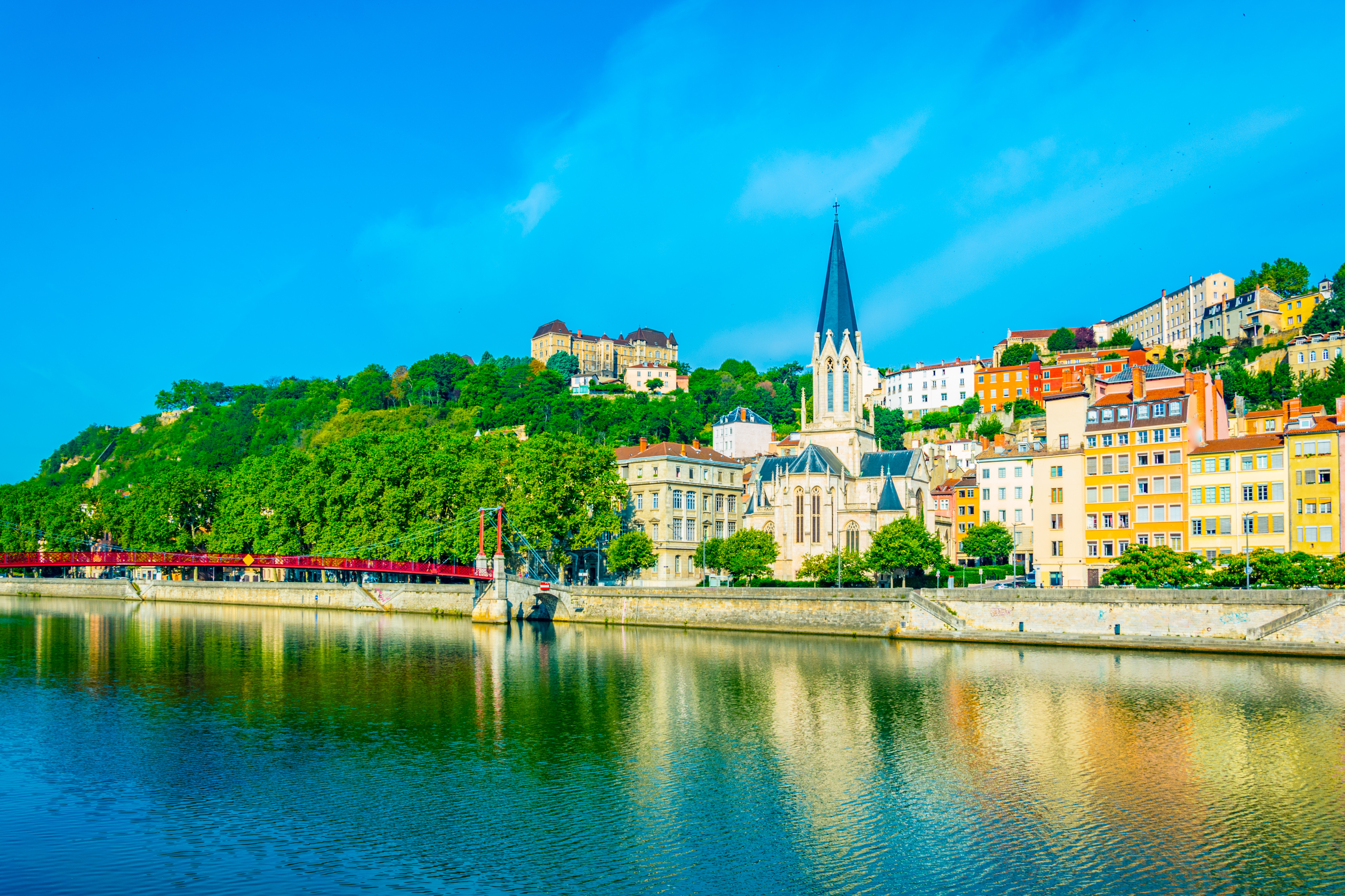
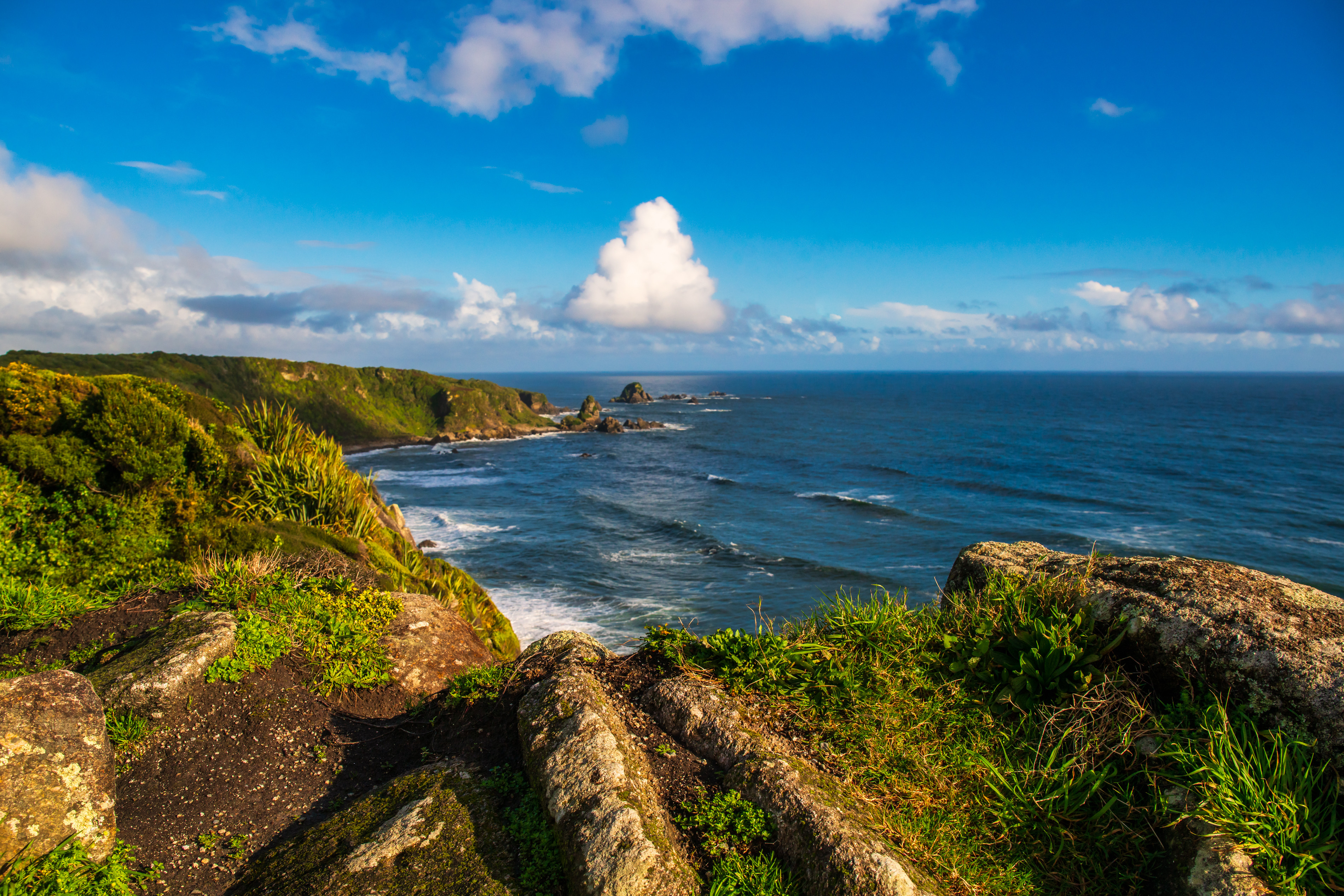
Biarritz (France)
If you are a wine student who has studied Bordeaux, you’ve heard of the Bay of Biscay. If you have dreamed of traveling to the resort town of Biarritz, you’ve heard of the Bay of Biscay. If you are a sailor who likes a challenge, you’ve heard of the Bay of Biscay. If you are interested in learning more, read on for five fast facts about the Bay of Biscay!
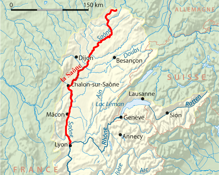
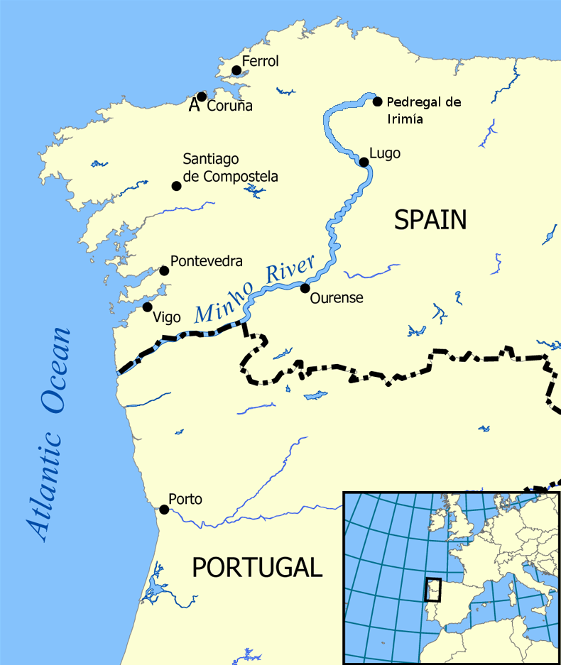
#1: The name and the place: The Bay of Biscay is a portion of the Atlantic Ocean located off the west coast of France and the northern coast of Spain. It stretches from Point Penmarch (a small peninsula in Brittany’s Finistère department) in the north to Cape Ortegal (a headland on the shores of A Coruña, Galicia) in the south. It is named for the province of Biscay—a sub-region of Basque Autonomous Community of Spain (Comunidad Autónoma del País Vasco).
If you sailed from Point Penmarch to Cape Ortegal (you might want to consult item #5 before doing so), you would cover 360 miles/580km; if you drove the coast, you would cover 914 miles/1,475 km and pass through the cities of Nantes, Bordeaux, Bayonne, San Sebastian, and Bilbao.
 #2: It’s a bay…it’s a gulf…it’s a sea: The term Bay of Biscay is used mostly by English Speakers. In France, this area is known as the Golfe de Gascogne (Gulf of Gascony), and many Spanish speakers know it as the Golfo de Vizcaya (Gulf of Biscay/Vizcaya). In Spain, the waters just off the coast of Northern Spain (stretching east to the French city of Bayonne) are known as the Mar Cantábrico (Cantabrian Sea).
- For the geo-curious: Terms such as bay, gulf, and sea are loosely defined. However, according to the National Geographic Education Resource Library:
- A bay is any body of water partially surrounded by land.
- A gulf is a portion of the ocean that penetrates land. (As such, the terms bay and gulf are largely interchangeable.) While there are some exceptions (such as the Bay of Bengal), in common use a gulf is larger than a bay.
- Sea is a broad term that may be applied to more than 50 different types of water formations; this term is typically reserved for bodies of salt water.
 #3: The Rennell Current: Several ocean currents flow through the Bay of Biscay, all of which are considered branches of the Gulf Stream. The Gulf Stream—named for its source (the Gulf of Mexico, at 20°N)—carries warm water northward and eventually reaches the northern coast of Europe. The portion of the current flowing closest to the coast in the Bay of Biscay is known as the Rennell Current, named for James Rennell (1742–18300, a British geographer and oceanographer who studied and mapped many ocean currents. It is estimated that the Rennell Current can have a warming effect of up to 4°(F) on the areas along the coast of France.
#4: The triangle of fog: Fog can show up at any time and just about any place on the Bay of Biscay, but it is an almost daily occurrence during late spring and all through summer, particularly in the southwest portion of the bay. This “triangle of fog” typically forms over the deepest water in the bay and can extend inland along the northern coast of Spain (Galicia–Asturias–Cantabria—Basque Country) for several miles.On th

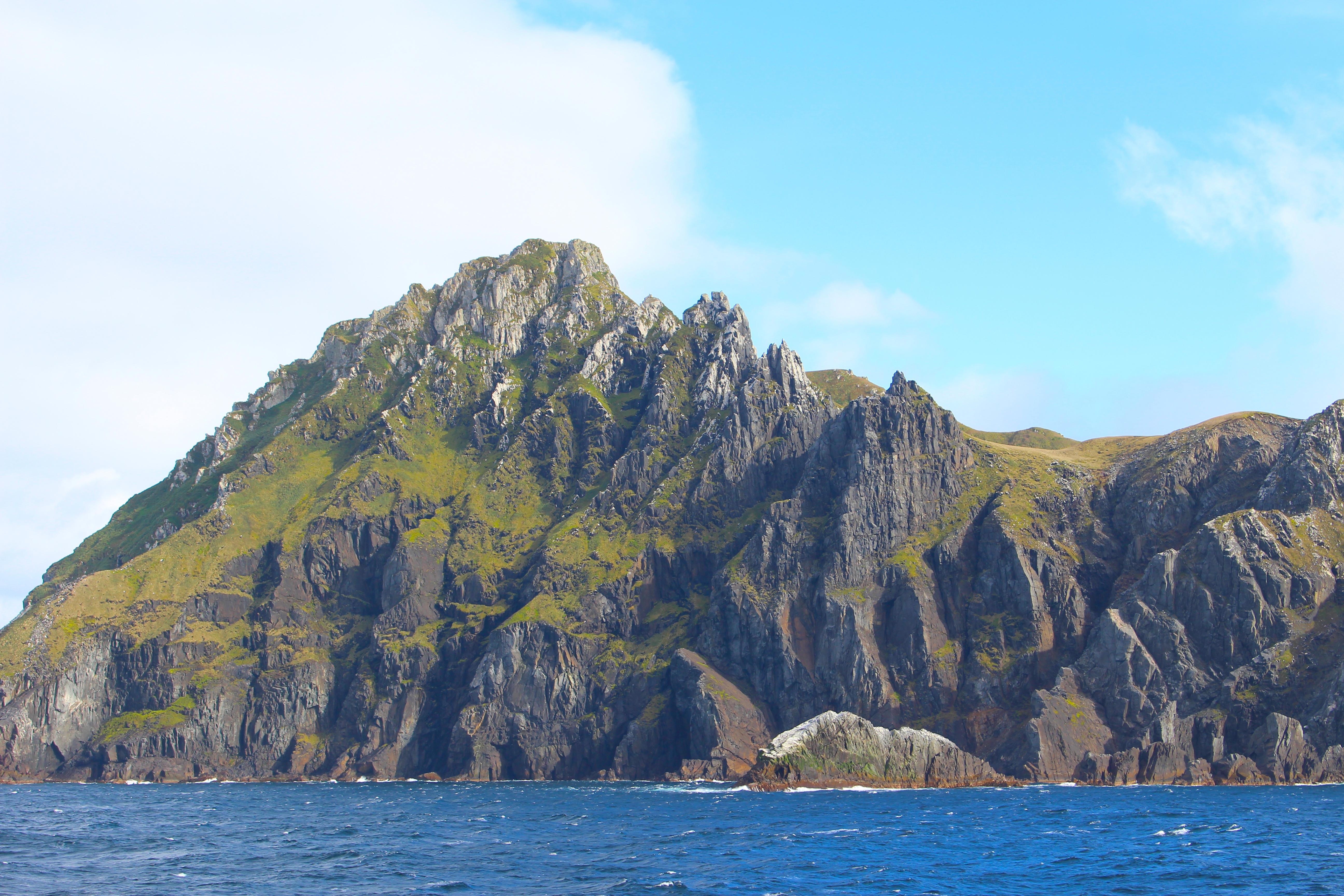
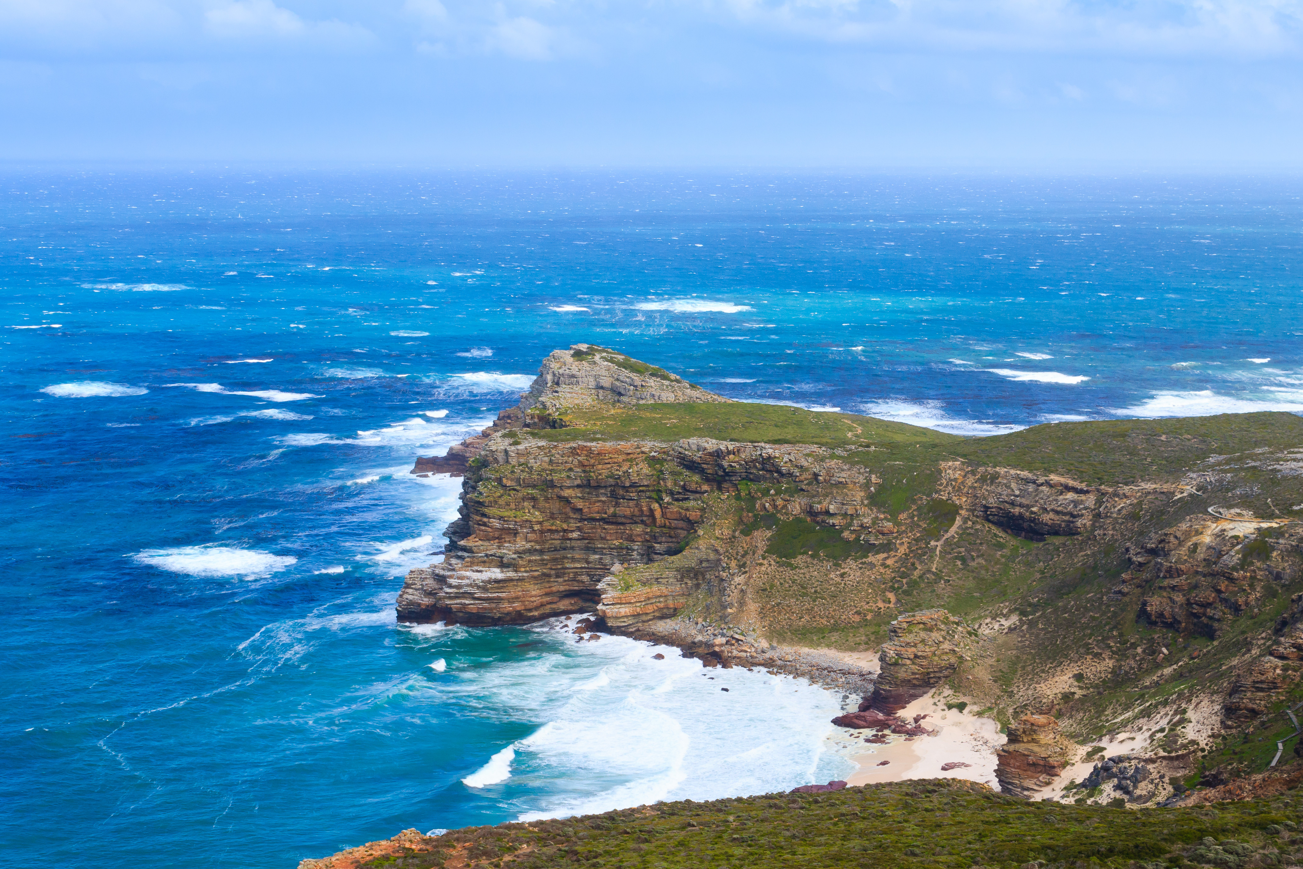
On the coast in Deba (Basque Country, Spain)
#5: The shelf and the shallow: The Bay of Biscay has a long history of shipwrecks, rough water, and tumultuous storms. During the winter months, areas of low pressure (unstable air masses/depressions) track into the bay via the Gulf Stream and are easily energized into fierce thunderstorms, much to the dismay of anyone caught on the open water. At times, these thunderstorms are met with winds from the east and this clash of wind and rain can cause the water to churn “like a washing machine.” In addition, the continental shelf extends over a large portion of the bay, resulting in shallow water and rough seas that can occur during all types of weather. Click here to see a detailed map of the continental shelf in the Bay of Biscay.
Here’s to the Bay of Biscay! The next time you raise a glass of Muscadet, Cognac, Txakolina, Sidra de Asturias, or Bordeaux…remember to pay homage to the influence of the Bay of Biscay…whether it be storms or fog or ships that made it through.
References/for more information:
- https://www.britannica.com/place/Bay-of-Biscay
- https://www.nationalgeographic.org/society/education-resources/
- https://www.worldatlas.com/bays/bay-of-biscay.html
- Marquina, Daniel & Fernández-Álvarez, Fernando Ángel & Noreña, Carolina. (2015). Five new records and one new species of Polycladida (Platyhelminthes) for the Cantabrian Coast (North Atlantic) of the Iberian Peninsula. Journal of the Marine Biological Association of the UK.
- https://www.britannica.com/biography/James-Rennell
- https://ontheworldmap.com/oceans-and-seas/bay-of-biscay/detailed-map-of-bay-of-biscay.
The Bubbly Professor is “Miss Jane” Nickles of Austin, Texas… missjane@prodigy.net