The Murray, the Darling, and the Alps of Australia
June 17, 2016 2 Comments

…
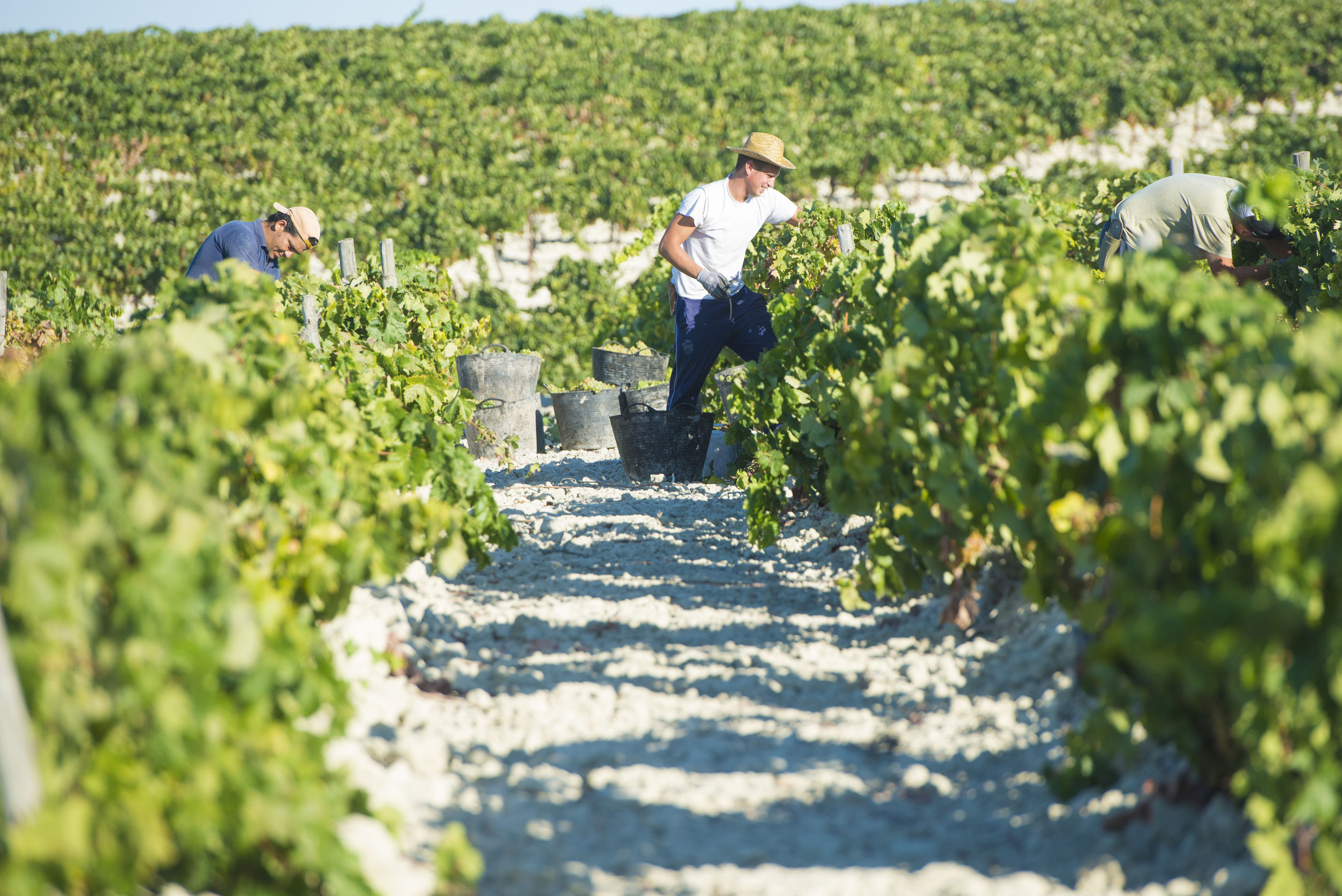
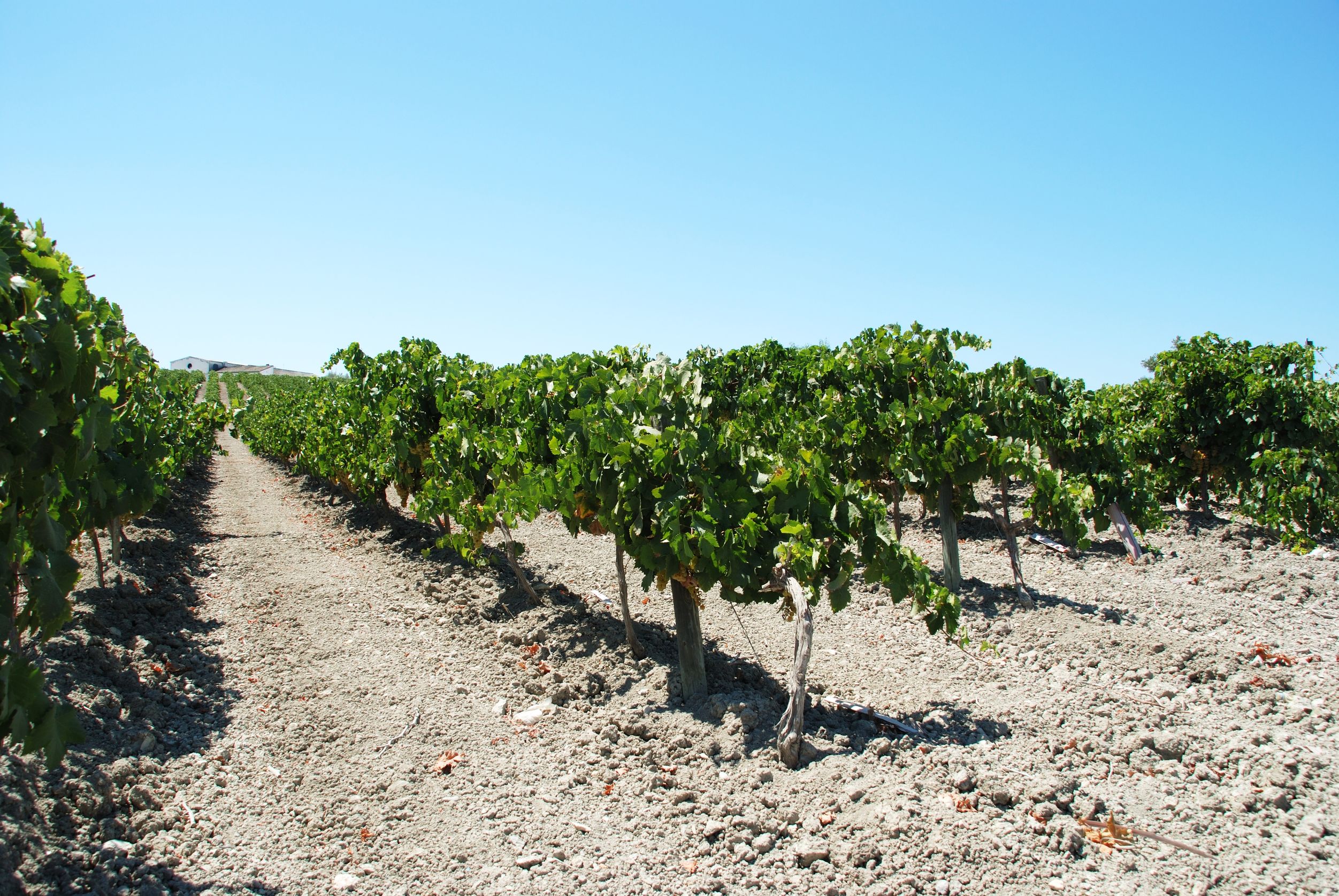
Murray Darling (as serious wine students certainly will know) is a wine region in Australia. Known primarily for Chardonnay but also widely planted with Shiraz and Cabernet Sauvignon, it is a big region–the second largest (by geographical area) in the country.
The Murray Darling wine region transcends political boundaries to an extent, as it straddles the borders of two states–Victoria and New South Wales. The New South Wales portion of the region is considered to be part of the Big Rivers viticultural zone–which makes total sense as it is named for the longest and the third longest rivers in Australia.
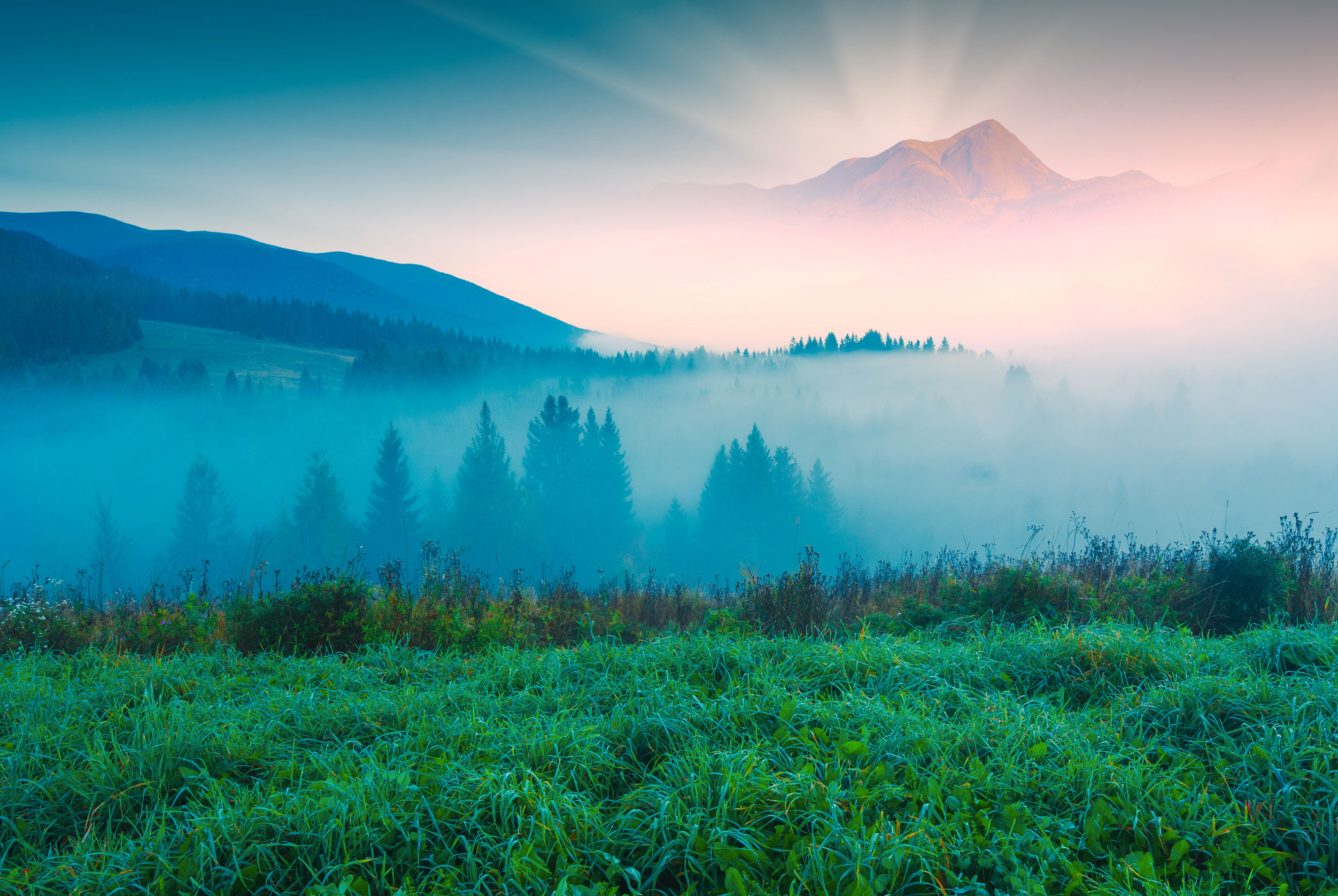
The longer of the two rivers–the Murray–is the longest river in Australia, clocking in at 1,558 miles (2,508 km) long. The source of the Murray is in the Australian Alps, and from there it flows down the western side of the mountains, twisting and turning across the inland plains and forming part of the border between the states of New South Wales and Victoria before it reaches the state of South Australia. From there, the Murray heads southward for almost 200 miles (315 km) before it joins the Southern Ocean (also known as the South Pacific Ocean) at Lake Alexandria.
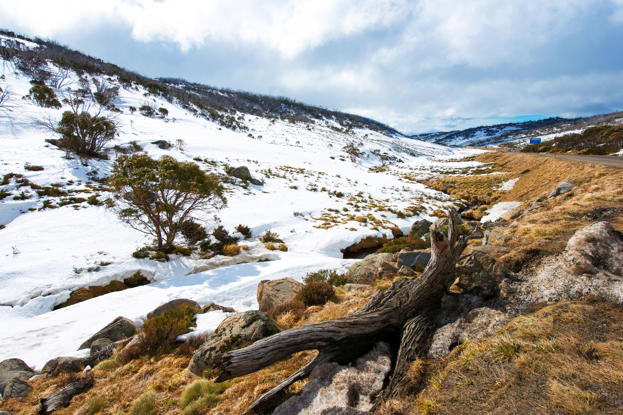
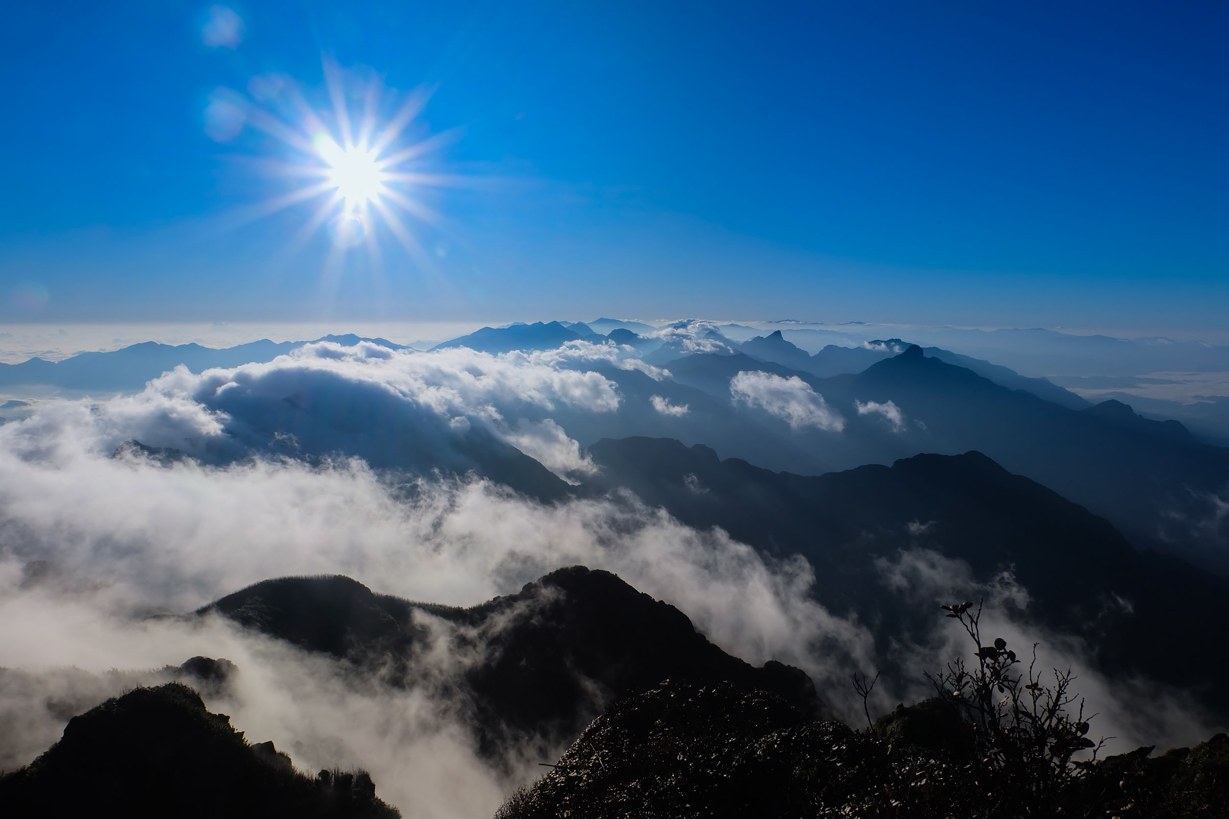
Kosciuszko National Park, Australia
Wait a minute–did she just say the Australian Alps? Yes, she did–and that’s the thing that led to this post. Before doing a bit of digging into the background of the Murray Darling region I had no idea that Australia had its own Alps.
The Australian Alps, it turns out, are part of the Great Dividing Range (now it starts to make sense). The Alps are the highest mountain range in Australia, and the only place in Australia that receives deep snow fall every year. Mount Kosciuszko, the highest point in Australia (7,310 feet/2,228 meters above sea level) is part of the Alps system. There is even a system of Alpine National Parks, understandably a center for skiing and other mountain sports in Australia.
So–back to our rivers. The source of the Darling River is also in the Great Dividing Range, yet far to the north of the Murray in the northern portion of New South Wales. The Darling River, the third longest river in Australia, flows south-southwest across New South Wales to the border of the state of Victoria, where it joins the Murray.
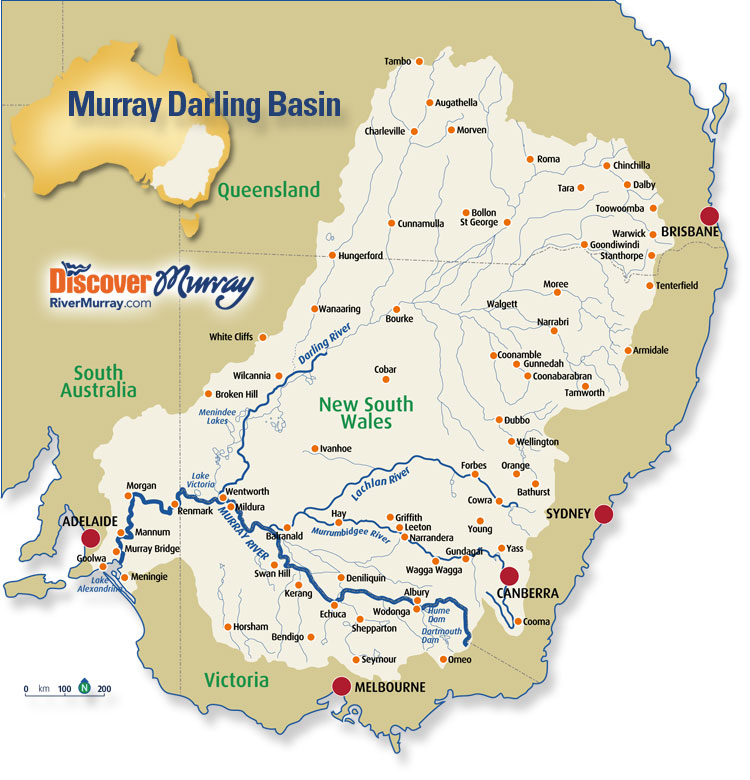
map via: http://www.murrayriver.com.au
The combined Murray-Darling catchment system provides irrigation for one seventh of Australia’s total landmass, including most of Victoria, New South Wales, southern Queensland, and parts of South Australia. This area is of great agricultural significance and has even earned the nickname of the “food bowl” of the nation. The agriculture output of the Murray-Darling Basin includes dairy, citrus, stone fruit, livestock, cotton, almonds, and over half of Australia’s cereal crops.
Of course, of great interest to me are the grapes, as a great majority of the wine regions of New South Wales and Victoria–as well as a portion of South Australia–fall under the water catchment of the Murray-Darling. The importance of these rivers (as well as the other rivers in the basin, which include the Lachlan and the Murrumbidgee) really cannot be overstated. We can thank these rivers for Hunter Valley Semillon, Mudgee Cabernet, Rutherglen Muscat, Heathcote Shiraz, and Murray Darling Chardonnay. Thank you!
References/For more information:
- http://www.wineaustralia.net.au/en-PH/wine-regions.aspx
- http://hqaustralia.com/murray-darling-basin/
- http://www.murrayriver.com.au/about-the-murray/murray-darling-basin/#agriculture
- http://www.murrayriver.com.au/river-management/murray-darling-basin-commission/#basinmap
The Bubbly Professor is “Miss Jane” Nickles of Austin, Texas… missjane@prodigy.net