Five Fast Facts about Zweigelt
July 31, 2015 Leave a comment
 A quick read about Fritz Zweigelt and the grape he created.
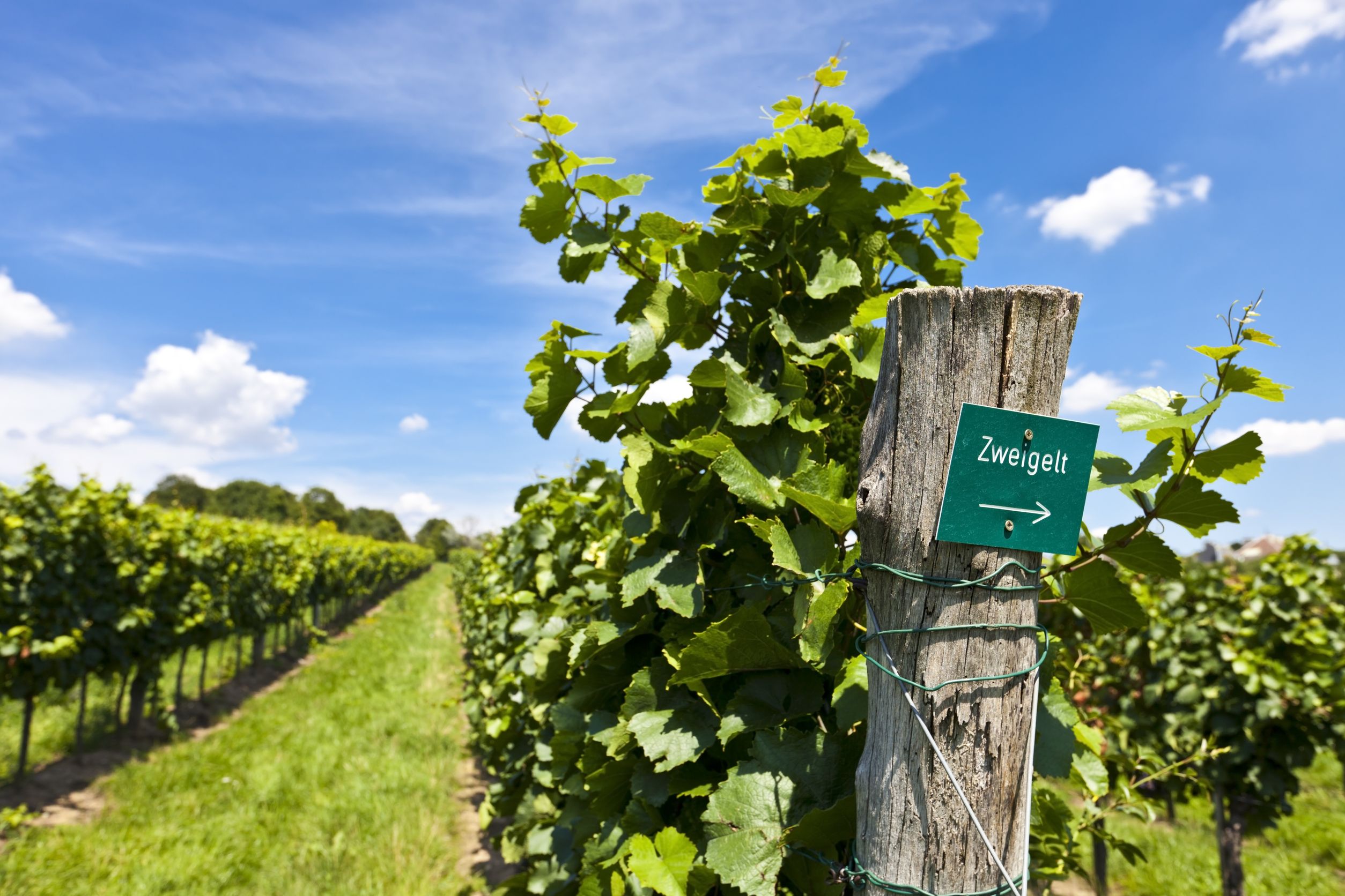
#1 – Zweigelt is the leading red grape of Austria. It is also planted in small amounts in Canada, in both Ontario and British Columbia. Zweigelt is the third most-planted grape of the Czech Republic, where is goes by the name Zweigeltrebe. A few wineries – including Wilridge Winery and Perennial Vintners – have some small plantings (a few acres or so) in Washington State.
#2 – Zweigelt is a cross of St. Laurent and Blaufränkisch/Lemberger created by Fritz Zweigelt in 1922. Fritz was working the Federal Institute for Viticulture and Pomology at Klosterneuburg, Austria at the time, which makes the Zweigelt grape a true native Austrian. It was made with the purpose of creating a red grape unique to Austria that could thrive in the cool climate, be disease-resistant, and create a red wine of medium to full body and flavor.
#3 – Dr. Zweigelt did a good job – the grape that bears his name is indeed cold-hardy, drought-resistant, and thrives in a variety of soils. It is fairly disease-resistant, but is susceptible to powdery mildew (that’s Oidium to you CSW students) and berry shrivel/grape wilt.
 #4 – The name of the grape is pronounced “TSVYE-gelt” – and if you think that’s difficult to say, consider yourself lucky. The original name of the grape was Rotburger (the name of a town close to where the grape was created) but was later changed to honor its creator. Zweigelt also goes by the name Blauer Zweigelt. By the way, don’t confuse the original name of Zweigelt – Rotburger – with the grape that goes by the name of Rotberger (who would – ha!). For the record – Rotberger (“berger with an e!”) is a white grape cross of Riesling X Trollinger.
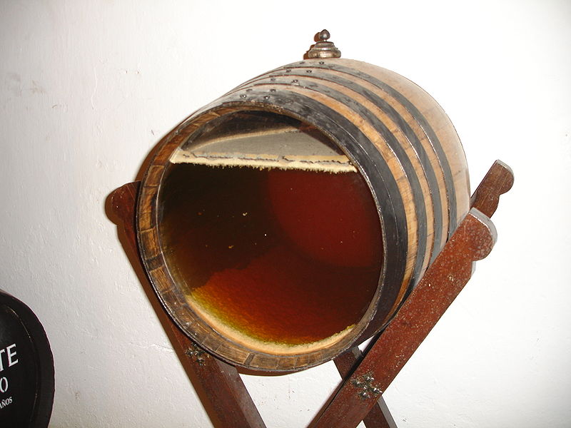
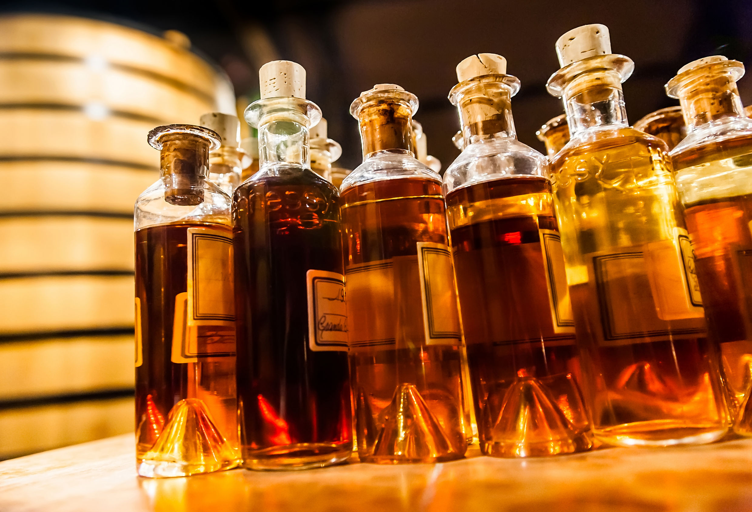
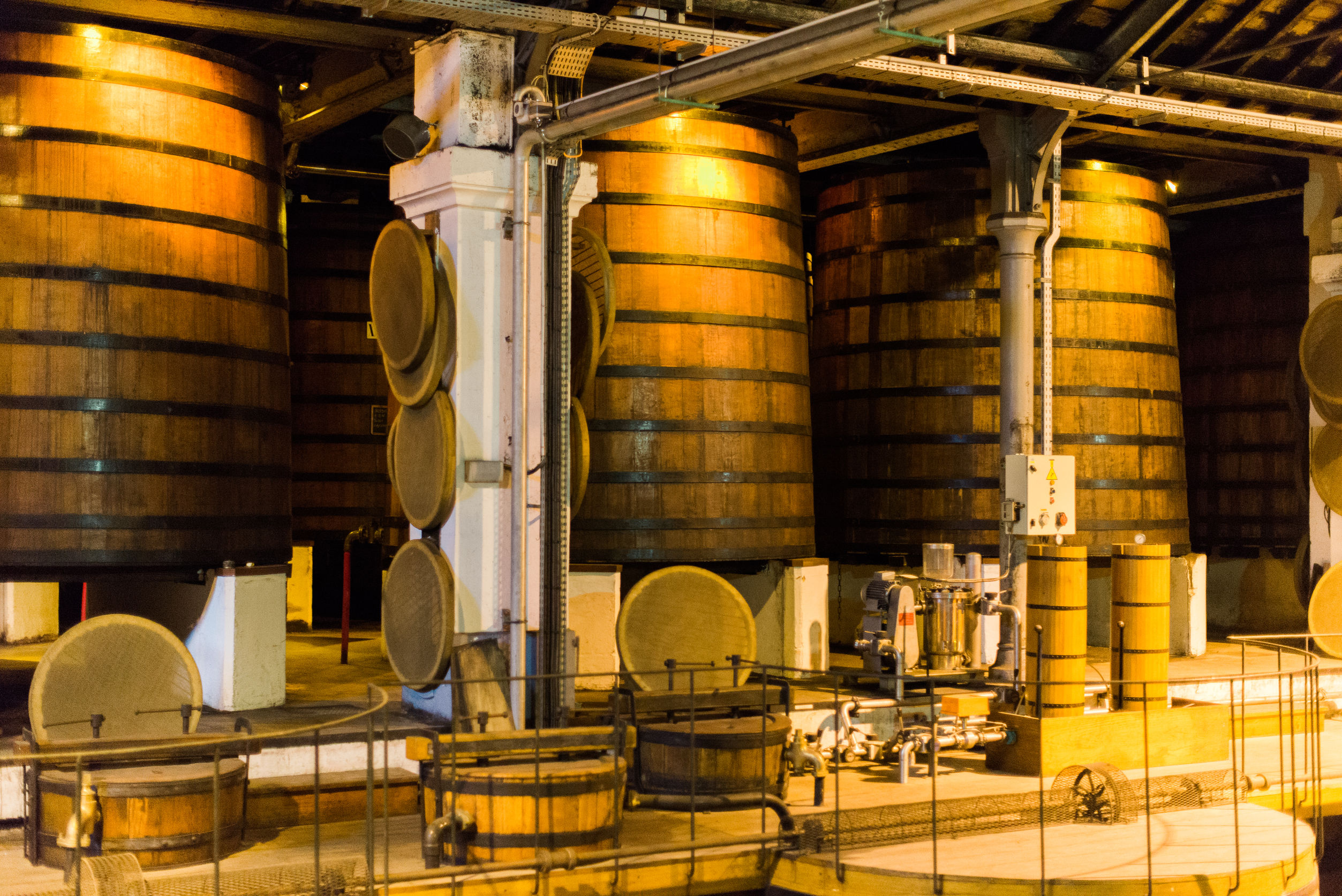
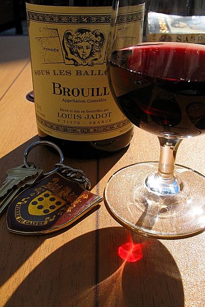
5 – As with all wines, the characteristics of a good Zweigelt vary according to vineyard conditions and wine-making techniques. Cool-climate, unoaked versions from Austria’s northern reaches are typically violet-red in color, medium-bodied, and moderate in tannins with fruit-forward flavors favoring red and black cherry. As such, it is the most widely consumed red wine in the pubs, bars, and casual restaurants in and around Vienna. The warmer growing regions in the areas of Lower Austria (Niederösterreich) – particularly Neusiedlersee – produce full-bodied, richer wines with firm tannins. Such wines are often oak-aged, resulting in flavors of red cherry, red plum, cinnamon, and black pepper.
References:
- Robinson, Jancis, et al: Wine Grapes. New York, 2012: Harper Collins
- Robinson, Jancis: The Oxford Companion to Wine, 3rd Edition. Oxford, 2006: Oxford University Press
- Wines of Austria: http://www.austrianwine.com/our-wine/grape-varieties/red-wine/zweigelt-blauer-zweigelt-rotburger/
The Bubbly Professor is “Miss Jane” Nickles of Austin, Texas… missjane@prodigy.net